Download
1 / 15
150 likes | 180 Vues
GTS Sea-Level Data structure, formats, transmission methods, and importance for Tsunami Warning Centers (TWCs), including real-time data retrieval and interpretation processes.

E N D
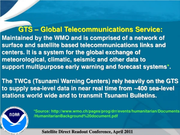
GTS – Global Telecommunications Service: Maintained by the WMO and is comprised of a network of surface and satellite based telecommunications links and centers. It is a system for the global exchange of meteorological, climatic, seismic and other data to support multipurpose early warning and forecast systems*. The TWCs (Tsunami Warning Centers) rely heavily on the GTS to supply sea-level data in near real time from ~400 sea-level stations world wide and to transmit Tsunami Bulletins. *Source: http://www.wmo.ch/pages/prog/drr/events/humanitarian/Documents /HumanitarianBackground%20document.pdf
GTS Sea-Level Data is structured in a rich variety of formats. There are approximately 12 or so basic formats, with a number of variations. UHSLC format (Manzanillo, MX) Readable ASCII (XMT 5min) SEPA40 KWAL 050000(WMO HEADER Origin Mdhhmm) ^^3541502E (Platform ID#) 186000003 :PRS 0 #1 9140 9139 …… 9139 9068 8284 8446 (Readings in mm):RAD 1 #1 6494 6483 6483 …… :BAT 4 #5 13.3 :NAME 3541502E 38+0NN 216W(GOESW Chan 216) NOS “Tsunami Expert” Station (Nawiliwili, Hawaii USA) SXXX03 KWAL 050000 Base 64 Encoding (XMT 6min) ^^336015FC 186000041"P16114001@|]~[@@v0KwW1@il@WADWDM> @ij5DY<U`2@Rs@T@"@Rt kTWyJBQBeBcB^BqBo 41+0NN 148W (one minute data) NTF (Australia) Station (Port Vila, Vanuatu) SXPS85 RJTD 042300 (RJTD indicates origin is Tokyo, Japan) AAXX 04234 91559 46/// /9901 10257 40128 22200 00260 555 77744 A0103 44200 30031 1265B 03017 74002 00A07 .....
As you can see, GTS Sea-Level Data does not come gift wrapped and easy to use. GTS Sea-Level Data
For a TWC to use GTS Sea-Level Data, the TWC needs (at minimum): 1. Access to GTS Data! (Easier said than done in many cases) 2. A Decoder to translate Sea-Level messages into sea-level data. 3. A MetaData Database (used by the decoder).
Why are High Frequency Sea-Level Data Transmissions needed? More frequent transmissions allow the TWC's to confirm the existence or non-existence of a destructive tsunami more quickly. This is important because with every hour a tsunami warning remains in effect, any where from 500km to 1000km of additional coastline is placed in a warning depending upon where the earthquake occurred.
Tsunami Detection time at three Sea-Level Stations (2011) The increase in the number of stations and in the frequency of Data Transmissions over the last 6 years have decreased the wait time for three sea-level stations to report evidence of a tsunami to the extent that now in 2011 the wait time in many cases is shorter than the wait time for just one station in 2005! This is real progress!
WHY IS CONTINUOUS DATA PREFERRED? 1. Tsunamis can happen at any time. 2. Sea-level station may be destroyed before it can transmit evidence of tsunami. 3. Trigger algorithm may turn on trigger mode, but what about turning it off? Observations of tsunami wave amplitude decay may be used to forecast when it is safe to cancel a warning. 4. Small tsunamis might not trigger. 5. Multi-Hazard (Storm surges, Seiches ) Robust two-way communication may be useful.
ASSIGNING PRIORITY FOR HIGH FREQUENCY TRANSMISSIONS. Priority based on consideration of: 1. Proximity to Seismic Zone. Areas far from regions of tsunami genesis are less critical. 2. Does the proposed site fill a gap in coverage? New sites in regions of low station density reduce latency for detection. 3. Does the proposed site face open ocean? Sites situated in estuaries, fjords, etc. have greater detection latency and may be sheltered from tsunami. 1. Proximity to Seismic Zone. Areas far from regions of tsunami genesis are less critical. 2. Does the proposed site fill a gap in coverage? New sites in regions of low station density reduce latency for detection. 3. Does the proposed site face open ocean? Sites situated in estuaries, fjords, etc. have greater detection latency and may be sheltered from tsunami.
Touhoku Earthquake and Tsunami 1. Occurred of the coast of Japan due east of the city of Sendai at 5:46 March 10 UTC. 2. Magnitude was placed at 8.8 ~30minutes after the earthquake. It was raised to 8.9 then 9.0 and finally 9.1 over the course of a day. Free Oscillation analysis confirms 9.1 3. Resulting Tsunami killed more than 10,000 people. Wave amplitudes > 10m.
Touhoku Tsunami Marigrams Ofunato Hanasaki Acapulco DART 21418