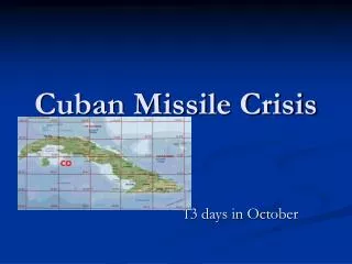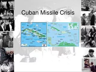
Missile Controls
Missile Controls. ENGR 315A Prof. P. Ribeiro Presented by: Craig Mulder. Outline. Afghanistan – How do they do that? Types of Missile Controls Physical Controls Inertial Navigation System (INS) Global Positioning System (GPS) Terrain Contour Matching (TERCOM) Conclusion.

Missile Controls
E N D
Presentation Transcript
Missile Controls ENGR 315A Prof. P. Ribeiro Presented by: Craig Mulder
Outline • Afghanistan – How do they do that? • Types of Missile Controls • Physical Controls • Inertial Navigation System (INS) • Global Positioning System (GPS) • Terrain Contour Matching (TERCOM) • Conclusion
War on Terrorism • “Arm’s-length warfare” • Primary Weapon: Tomahawk • Other guided weapons included • Stand back and watch the results
Results • Examples of guided weapon strikes:
How They Do That • Physical Controls • Fins controlled by computer which evaluates inputs from guidance systems
Initial Guidance System • Inertial Navigation System (INS) • Easiest way from point A to B is a straight line (or arc) • Sensors determine tilt, roll and yaw as well as acceleration and velocity • Computer keeps memory of previous motion and adjusts fins to keep on line or arc
Primary Guidance System • Global Positioning System (GPS) • INS has a habit of drifting due to error compounding • GPS gives accurate positioning through triangulation
Final Guidance System • Terrain Contour Mapping (TERCOM) • Used mainly for final approach • Also used at certain times during flight • Can be used continuously for “ground-hugging” flight, a la the Tomahawk • Works by uploading pictures of target or path before flight and comparing them to photographs taken during flight
Conclusion • Keep US troops safe, which keeps public happy • Reason for US Military Supremacy in recent decades