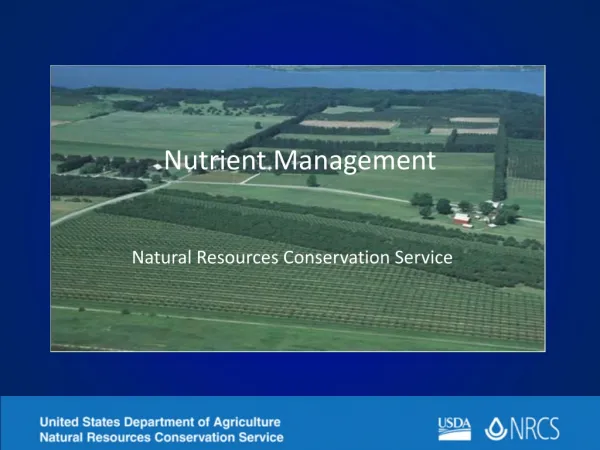
Nutrient Management Planning: Mandates and Challenges for Agricultural Non-Point Source Pollution
As agricultural non-point source pollution becomes a pressing national concern, understanding the implications of state legislation, specifically regarding Total Maximum Daily Loads (TMDLs), is crucial. This document outlines the emerging need for Nutrient Management Plans (NMPs) to mitigate pollution. It highlights the importance of site-specific data, the role of GIS in data accessibility, and potential benefits and challenges of implementing Comprehensive Nutrient Management Plans (CNMPs). The emphasis is placed on sustainable practices, resource management, and the assessment of slope and erosion factors affecting agricultural productivity.


Nutrient Management Planning: Mandates and Challenges for Agricultural Non-Point Source Pollution
E N D
Presentation Transcript
Nutrient Management Planning • Will these be mandated in your state? • An emerging national issue is how to account for agricultural non-point source pollution. • If your state has passed legislation concerning Total Maximum Daily Loads (TMDLs) you should plan for NMP mandates?
Clear Understanding? • According to the EPA’s State Source Water Assessment and Protection Program Final Guidance (U.S. EPA’s SSWAPP Final Guidance, August 1997, page A-25) a susceptibility analysis should be conducted with, “clear understanding where the significant potential sources of contamination are located.”
Application of CNMPs • Such plans, if applied on a wide-scale basis, would account for agricultural non-point source pollution, however few agencies have the ability to access this large-scale data. • GIS would be a good candidate to accomplish this task.
General NRCS Requirements • Aerial photos (base map). • Soil Maps, Soil Test Results. • Planned Crop Sequence. • Manure Sample Analysis. • Realistic Yield Goals. • Recommended nutrient rates and timing. • Location of sensitive areas. • Complete nutrient budget for N,P,K. • Phosphorus Index Rating.
CNMPs are more than pollution tracking. What are the benefits of a CMNP? • Resource management. • Prevent runoff, soil loss. • Land Stewardship (Clean water) • Sustainable Production • Efficiency • Reduce Input Cost. • Improves Management Structure. • Facilitates Better Planning.
What are the problems with such a plan. • No structure currently exists to manage site-specific data on a large scale. • More Programs! • Restrictions on farming practices. • Cost of implementation.
Can the EPA and USDA fulfill their commitment? • The Total Maximum Daily Loads (TMDLs) for streams and lakes are set by the state and cannot be exceeded. • Currently the mechanism for locating non-point source pollution is a watershed scale analysis. • Such an analysis does not adequately account for agriculture’s contribution to waterway pollution.
Site-Specific Data. • It is imperative that site-specific data be promoted as the needed data for these plans. • Though some extrapolation of data is warranted, there are some attributes such as yield and nutrient levels that are unique to a field. • Averages of such data by county, will not adequately represent a field and may result in misapplication of both organic and inorganic fertilizers.
Following is just one element that may improve the resolution of CNMPs. • Site-specific field erosion. • Currently it is acceptable to calculate field erosion using the slope values from SSURGO data. • There is the possibility for large errors when using this data.
Soil Loss • Revised Universal Soil Loss Equation (RUSLE) • 30 meter resolution Digital Elevation Model data will be used to establish slope steepness for each field. • Acquisition: Online download from USGS data warehouse. • R – Rainfall Erosion Index. • NRCS averages for the area. • K – SSURGO Data (Soil Types) • Acquisition: From NASIS Soil Data Viewer (NASIS). • C and P (Site specific data ) • Cover Management Factors. • Support Practice Factors. • Slope length. • Terracing and /or contouring.
Study SITE • Approximately 5 miles north of Enid, Oklahoma. • Well drained silt loam. • Irrigated corn, soybean rotation. • Conventional tillage.
Slope Steepness • It is important to note that both methods are an improvement over SSURGO data. • This research found no significant difference between the average slope calculated using a inclinometer and the average slope generated using 30 by 30 meter DEM data.
Slope Surface (DEM) • Though, only a small area of this field contains 4–5 % slopes. SSURGO data attributes this entire field with a 1–3% percent slope. • Surface values were verified using a inclinometer.
Slope Lengths Must be Site-Specific! • There are many papers suggesting that slope length can be obtained from DEMs. • This research found that though DEMs accurately depict average slope, this is not the case with slope length.
Spreadable acres • Considering P2O5 levels and HEL there are only 32.87 spreadable acres. • Currently these restrictions only apply to manure.
Erosion is only one element of a CNMP. • Feel free to ask question concerning any aspect of CNMP’s.
R&D Cooperation • Manure Management Planner • Developed by Brad Joern and Phil Hess of Purdue University. • Outstanding tool for barn management. • John Lory of the University of Missouri-Columbia is developing a MMP ArcView extension.