Enhancing Water Quality Protection: GIS Applications at EPA
130 likes | 240 Vues
This overview details the vital role of Geographic Information Systems (GIS) in supporting the Water Quality Protection Division and Superfund Division of the U.S. EPA. In collaboration with team members Bob Kirkland, Angel Kosfiszer, and David Parrish, the applications include public access tools, air quality studies, and emergency response initiatives. Field data collection using GPS and mobile devices is integrated with a central database, providing real-time updates. The GIS approach facilitates effective watershed protection, trend analysis, and enforcement efforts. For inquiries, please contact the team members listed.

Enhancing Water Quality Protection: GIS Applications at EPA
E N D
Presentation Transcript
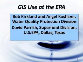
GIS Use at the EPA Bob Kirkland and Angel Kosfiszer, Water Quality Protection Division David Parrish, Superfund Division, U.S.EPA, Dallas, Texas
Overview • Public Access Applications • Air Quality Studies • Emergency Response • Water Quality Studies • Who ya gonna call?
www.epa.gov MyEnvironment • Enter your Zip Code
Hurricane Katrina Response Field Data Collection PDA linked with GPS to collect standardized information from the field Synched to central database each day Integrated with GIS for updated status maps
…GIS and the Water Quality Division “Support Regional watershed protection and restoration efforts and help achieve the goals, priorities, and objectives for the Regional water program. ”
EPA-Who ya gonna call? • Click- Geodata.epa.gov • David Parrish- 214.665.8352 parrish.david@epa.gov • Angel Kosfiszer- 214.665.2187 kosfiszer.angel@epa.gov • Bob Kirkland- 214.665.6798 kirkland.robert@epa.gov