
Precipitation Trends in Idaho: SNOTEL Data Analysis (Jan 1-9)
This report analyzes SNOTEL precipitation data from January 1-9, highlighting variability across regions in Idaho. Precipitation levels range from less than 10% in Little Wood and Big Lost basins to 25% in northern Idaho and the Oakley basin. The maps, created by Oregon State University's PRISM Climate Group, incorporate all SNOTEL stations and other national and regional networks. Historical weather patterns are discussed, including the influence of PDO signals and the increasing variability of weather today. This information is crucial for water supply forecasts and crop insurance verification.
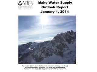

Precipitation Trends in Idaho: SNOTEL Data Analysis (Jan 1-9)
E N D
Presentation Transcript
Jan 1-9 SNOTEL Precipitation ranges from <10% in the Little Wood & Big Lost to 25% in northern Idaho and Oakley basin
PRISM Maps Maps were produced by Oregon State University's PRISM Climate Group. Data and website development are funded by USDA Risk Management Agency (RMA) for crop insurance verification, and quality control of SNOTEL data is funded by NRCS. The maps include all SNOTEL stations and many other national and regional networks. • Maps are http://www.prism.oregonstate.edu/
4 out of 52 years, ~8% chance to return to March-April normals Boise Basin: Of the lowest 12 years: 1963, 1998, 2000, 2010 & 1968 had a cool PDO signal like 2014. Neutral years include: 1990, 1987,1963, 1979, 1991, 2000 & 1968 like 2014. Weather is more variable today than historically, and UofI analysis shows storms are bigger, so just takes a few storms to get us back in the game for 2nd of winter. ?
November 26, 2013 Grand Teton National Park Questions / Comments / Corrections