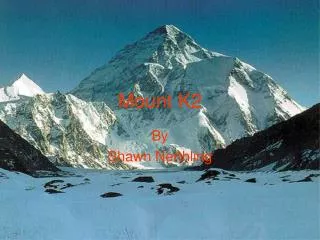
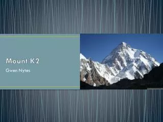
Mount K2
Mount K2. Gwen Nytes. Formation. The Karakorum mountain range began to form about 40 million years ago when the Eurasian plate and the Indian plate started colliding. They were also shaped by erosion and glaciers from ice ages that have occurred over the past million years

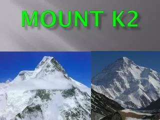
Mount K2
E N D
Presentation Transcript
Mount K2 Gwen Nytes
Formation • The Karakorum mountain range began to form about 40 million years ago when the Eurasian plate and the Indian plate started colliding. • They were also shaped by erosion and glaciers from ice ages that have occurred over the past million years • Mount K2 is a folded mountain • Folded mountains from when two continental plates push together at a convergent boundary
K2 • The peak of K2 is 28,251 feet, making it the second highest in the world • Because the plates continue to converge, this mountain is still growing • Carbon dioxide is also weathering these mountains
Cultural Significance • It’s an extreme mountain range: • Highest mountain region on earth • Cold winters guarantee that it consists of some of the largest glaciers on earth (outside the polar regions) • Hot summers result in glacial melt-off • Glacial melt-off is a huge source of fresh water that irrigates not only the Karakorum region, but almost all of Pakistan • Karakorum mountains are important to geologists and scientists. They are one of the world’s most geologically active areas, so they are used for the study of plate tectonics and other natural processes. They also contain many valuable fossils and gemstones.
View of Karakoram range from space Shows glacial rivers and some of the highest peaks