Download
1 / 21
210 likes | 228 Vues
Explore the various shapes of states and the impact they have on their viability and governance. Learn about different types of boundaries and how they are defined and demarcated. Discover the geopolitical implications of landlocked countries and the challenges they face. This homework assignment by Debra Troxell, NBCT, provides an in-depth study of state shapes and boundaries.

E N D
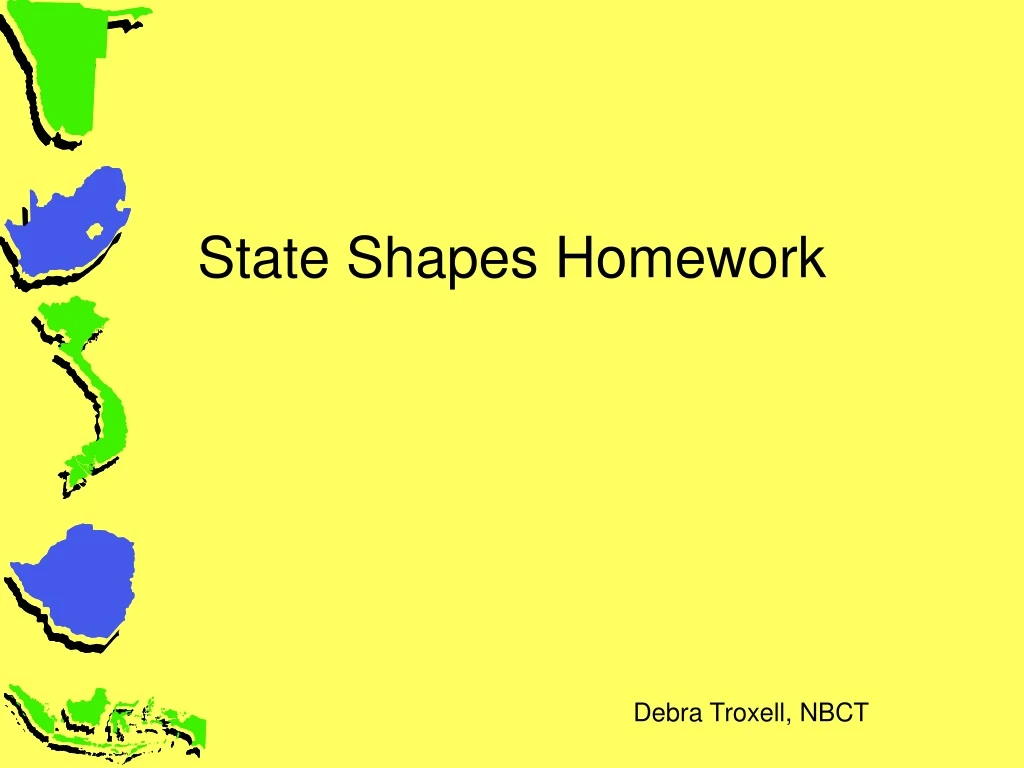
State Shapes Homework Debra Troxell, NBCT
State Shapes Use one side of the large map – be sure your colors do not affect the back of the map A note about state shapes – Many states could fall into more than category. However, when choosing examples – pick countries that exemplify the state shape and/or the state shape would affect the viability of the country. For example, the USA is fragmented but the state shape does not impact our country as much as it would Indonesia.
Shapes of States • Compact States • Efficient • Theoretically round • Capital in center • Shortest possible boundaries to defend • Improved communications • On the map – color red and label 4 examples. At least one example should have a centrally located capital. Zimbabwe
Shapes of States • Elongated States • States that are long and narrow • Suffer from poor internal communication • Capital may be isolated • On the map – color blue and label 4 examples. • Are most elongated states oriented north/south or east/west? • What effect would this have on the diffusion of agriculture? Vietnam
Shapes of States • Fragmented States • Several discontinuous pieces of territory • Technically, all states w/off shore islands • Two kinds of fragmented states: separated by water & separated by an intervening state • Exclave – is the part of a country separated by an intervening state (Alaska is an exclave of the United States) • On the map – color yellow and label 4 examples 3. Pick one fragmented country – use the CIA Factbook – How many ethnicities, languages and religions does the country have? 4. Discuss why or why not the country has seccesionist movements. • http://en.wikipedia.org/wiki/Lists_of_active_separatist_movements Indonesia
Namibia Shapes of States • Prorupted States • w./large projecting extension • Sometimes natural • Sometimes to gain a resource or advantage, such as to reach water, create a buffer zone • On the map – color green and label 4 examples 5. For each of the examples, explain the cause of the proruption?
Shapes of States • Perforated States • A country that completely surrounds another state • Enclave – the surrounded territory • On the map – Find 2 sovereign enclaves - color the enclave orange and label; Find 2 preforated states – color brown and label South Africa
Enclaves and exclaves • An enclave is an area surrounded by a country but not ruled by it. • It can be self-governing or an exclave of another country. • Can be problematic for the surrounding country. • Pene-enclave—an intrusive piece of territory with a tiny outlet such as Gambia. • Find Gambia – color purple and label
Fragmented, Exclaves and Enclaves • Armenia is the ivory color. 6. How many exclaves does Armenia have? 7. How many exclaves does Azerbaijan have? 8. In the event of a war, which area in Armenia or Azerbaijan do you think would be most threatened to be annexed by the other country? Why do you think this territory is most vulnerable?
An exclave is part national territory separated from the main body of the country to which it belongs. Very undesirable if a hostile power holds the intervening territory. Defense and supplies are problematic. Inhabitants may develop separatist ideas. On the map – color pink and label 4 examples. 9. For 2 of the examples, explain the reasons for the exclave Exclave
Distribution of territory—geographic characteristics of states • The more compact the territory, the easier it is to govern. • Ideal shape is round or hexagonal. • Types of shapes: compact, prorupt, elongated, fragmented and perforated (which contains an enclave). • The most damaging territorial distributions affect a country’s cohesiveness and stability: enclaves and exclaves.
Landlocked States • No access to major sea or ocean • Must negotiate rights to move resources through other countries – problems exist when countries do not agree on fundamental policies • On the back side boundaries map, label all landlocked states
10. What is the correlation between landlocked and classification in Wallersteins World Systems Theory? 11. Pick one country as the “poster child” or “rule of thumb” example of landlocked and Wallerstein’s classification – explain the affect of being a landlocked country. 12. Pick one country as the “exception” to explain
Boundaries Make good choices for examples Use the back side of the large map When labeling countries – label all countries along the border
Vocabulary • Boundary definition – determining the boundary by a treaty-like agreement through actual points, latitude/longitude, or landscape • Boundary delimitation – the boundary is drawn on the map • Boundary demarcation – the boundary is established by steel posts, concrete pillars, fences, etc. to mark the boundary on the ground
Boundaries • Natural or Physical Boundaries • Mountains • Deserts • Water – rivers, seas, lakes, oceans • Label the affected countries and outline the boundary in red 1 example of each
Boundaries • Physical / Natural Boundaries • Geometric Boundaries • Political boundary defined and delimited as a straight line or arc (line of latitude or longitude) • Label and outline in orange 4 examples
Boundaries • Physical / Natural Boundaries • Geometric Boundaries • Cultural Boundaries – boundaries drawn based on cultural features • Antecedent Boundaries 13. Definition of antecedent boundary • Label and outline in yellow 2 examples; explain the history which resulted in an antecedent boundary • Consequent & Subsequent Boundaries 14. Definition of consequent or subsequent boundary • Religious Boundaries • Label and outline in green 1 example • Language Boundaries • Label and outline in blue 1 example
Boundaries • Superimposed Boundaries • 15. Define Superimposed Boundaries • Label and outline in purple 4 examples • 16. Choose 2 of the examples – explain why this boundary was established
Boundaries • Physical / Natural Boundaries • Geometric Boundaries • Cultural Boundaries • Relict Boundaries – • 17. Define relict (relic) boundary • Label and outline one relict boundary in brown • 18. Explain the history behind the relict boundary
Fortified Boundaries • 19. Explain fortified boundary • Label and outline 2 examples in gray