Download
1 / 29
290 likes | 486 Vues
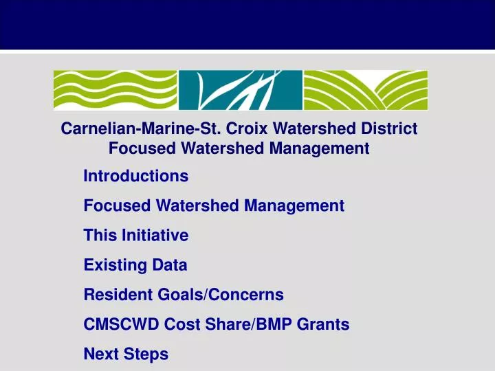
Carnelian-Marine-St. Croix Watershed District Focused Watershed Management. Introductions Focused Watershed Management This Initiative Existing Data Resident Goals/Concerns CMSCWD Cost Share/BMP Grants Next Steps. Carnelian-Marine-St . Croix Watershed District

E N D
Carnelian-Marine-St. Croix Watershed District Focused Watershed Management Introductions Focused Watershed Management This Initiative Existing Data Resident Goals/Concerns CMSCWD Cost Share/BMP Grants Next Steps
Carnelian-Marine-St. Croix Watershed District Focused Watershed Management • History • 2008 Strategic Planning Sessions • 2010 Comprehensive Plan • Goals • Preserve water quality in highest value resources • Keep water resources off impaired waters list • Allocate District financial resources • Criteria • Declining Trend • Homeowners’ Association • Removal from Impaired List
Clean Water Partnership • Overall Program Objectives • Protection of non-impaired waters • Addressing non-point sources of pollution • Funding Structure • 50% match (cash or in-kind) • Local sponsor – Carnelian Marine-St. Croix Watershed District
Clean Water Partnership Structure • Phase I: Diagnostic Study • Primary Outcome – Implementation Plan that identifies the combination of education, best management practices (BMPs) and other activities needed to protect or restore water quality. Sets the stage for additional grant funding… • Phase II: Implementation • Putting in place the BMPs and other activities identified in the first phase. In addition, education, new land use ordinances, and a variety of other methods designed to reduce non-point pollution are implemented. A phase II project is typically a three to four year project. • Phase III: Continuation • Additional BMP Implementation. Continuations are awarded, subject to the availability of funds, before the other applicants during that funding cycle, i.e. they are not ranked with the other projects but are awarded first.
Sand and Long Lake Diagnostic Study • These lakes were listed on the 2008 303(d) list of impaired waters and will be subsequently removed in 2010, as they are currently meeting the state water quality standards for shallow lakes. • This project addresses non-degradation of waters currently meeting water quality standards. Table 1. Water quality summary of growing season means (2000-2009)
Goals and Objectives • Overall Resource Goal • Decrease the frequency and severity of noxious algal blooms in order to provide for a swimmable lake with a healthy fishery and a healthy macrophyte community that does not impede recreation • Approach Evaluate P loads from watershed sources and internal sources Identify specific projects for implementation that will reduce P loading to the lakes and improve in-lake water quality
Information & Education Goals • To raise understanding and acceptance among lakeshore owners that a healthy shallow lake is dependent on a diverse macrophyte community • To increase awareness and develop a stewardship ethic among watershed residents and users regarding the effects of upstream land use and activities on lake water quality
Goals and Objectives Preliminary Quantitative Goals • Maintain a water quality rating of at least B. • Maintain a five-year mean summer phosphorus concentration at or below 40 g/L 4%. • Maintain a mean summer Secchi depth no less than 6 ft.
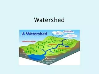
Project Elements • Watershed data collection: • Land use, topography, feedlots, tiling and drainage patterns, ponding areas, storm and sanitary sewers, climate data • In-lake data collection: • In-lake water quality monitoring through CAMP, administered by the WCD • Evaluate P sources – watershed, internal • Pollutant reduction scenarios • Stakeholder Input & Education – goal setting and implementation plan • BMP alternatives analysis and selection • Implementation Plan
Sand Lake Land Use • Existing Land Use • Dominated by undeveloped, single-family residential, and agricultural land uses • 2020 Land Use • Conversion to large-lot residential and multi-optional development
State of the Lake - bathymetry • Lake Area - 45 Acres • Max Depth - 18 feet
State of the Lake - fisheries • No Fish Survey • The 1984 DNR Fisheries Lake Management Plan Goals - • Long Range Goal: • Intensive management of walleye-yellow perch complex with large sized individuals sustaining 100 man-hours per acre sport fishing. • Operational Plan: • Annual aerial fish house counts. • Winter oxygen monitoring. • Mid Range Objective: Public access. • Potential Plan: • Install an aeration system. • Chemical rehabilitation of Sand and Hay lakes. • Public access with 3 to 4 car/trailer unit parking places.
State of the Lake - macrophytes • 2008 June & August macrophyte surveys • No curly leaf pondweed observed
State of the Lake - zooplankton • Rotifers • Don’t graze on algae as well as cladocera • Cladocera + copepods • Graze on algae + control algal blooms, reduction in planktivores could improve populations September 2008 survey
State of the Lake - phytoplankton • Blue-green Algae • Dominance indicates potential for noxious algal blooms • Poor food quality for zooplankton September 2008 survey
State of the Lake – bottom sediment September 2008 survey
Carnelian-Marine-St. Croix Watershed District Focused Watershed Management Resident Goals/Concerns
Carnelian-Marine-St. Croix Watershed District Cost Share Grants for BMP Projects
Apple Valley Dakota SWCD
Soil loss from mowing to water’s edge Coon Lake
Value / Function of Un-molested Shoreland Zone Shoreland Vegetation (erosion-control, water quality, wildlife habitat, high plant diversity = high wildlife diversity) Emergent Vegetation (water quality, erosion-control & wildlife habitat) Tree Stumps (wildlife habitat & water quality) Drifted-in Logs & Snags (wildlife habitat, erosion control & water quality)
Gustafson Residence Lake Johanna – Ramsey County photo by RCWD
Designed and Installed by: Savanna Designs
Next Steps • Complete watershed data collection • Feedlots, tiling and drainage patterns, ponding areas, storm and sanitary sewers, climate data • Evaluate P sources – watershed, internal • Pollutant reduction scenarios • Stakeholder input on implementation strategies based on analysis and findings • BMP alternatives analysis and selection • Implementation Plan
Thank You Jim Shaver, CMSCWD Administrator • (651) 433-2150, jshaver@cmscwd.org Angie Hong, EMWREP Education Specialist • (651) 275-1136 ex. 35, angie.hong@mnwcd.org Carl Almer, EOR Water Resources Engineer • (651) 770-8448, calmer@eorinc.com