Download
1 / 3
30 likes | 126 Vues
2009 ACSM Update on NGS County Scorecard. For several years, NOAA has been assessing how well we are doing at “enabling” local capacity for accurate positioning. This metric:

E N D
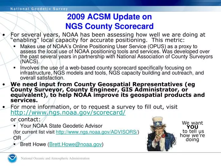
2009 ACSM Update onNGS County Scorecard • For several years, NOAA has been assessing how well we are doing at “enabling” local capacity for accurate positioning. This metric: • Makes use of NOAA’s Online Positioning User Service (OPUS) as a proxy to assess the local use of NOAA positioning tools and services. Was developed over the past several years in partnership with National Association of County Surveyors (NACS). • Involves the use of a web-based county scorecard specifically focusing on infrastructure, NGS models and tools, NGS capacity building and outreach, and overall satisfaction. • We need input from County Geospatial Representatives (eg County Surveyor, County Engineer, GIS Administrator, or equivalent), to help NOAA improve its geospatial products and services. • For more information, or to request a survey to fill out, visit http://www.ngs.noaa.gov/scorecard/ or contact: • Your NOAA State Geodetic Advisor (for current list visit http://www.ngs.noaa.gov/ADVISORS/) OR • Brett Howe (Brett.Howe@noaa.gov) We want YOU to tell us how we’re doing
County Scorecard: The Latest • Complete Update Available at NGS Internet Site http://www.ngs.noaa.gov/scorecard/ CONTAINS: • General Information and FY09 Action Plan • Detailed Survey Results • Presentations and Updates • Online form to request survey • 747 Total Responses from Nov 2005 – Present • 148 from NACS members • 186 from GIS Mapping Users • 153 from “Other Land Surveyor/Engineer” NOTE: Respondents are only asked to fill out the survey one time! • Proactively integrating survey results into management decisions • Conducting workshops in areas with an identified need • Re-tailoring workshop program based on customer needs • Analyzing results for ways to improve products and services • Working in FY09 with National Association of County Engineers on a web survey tailored to NACE members • Will be working with the surveying community in FY09 and FY10 to re-evaluate the questions we ask and adjust survey.
Some Outcomes Based on Feedback • Reassessing the Workshops NGS provides and who at NGS gives them. • Supporting areas of the country that have provided feedback indicating a need for workshops NGS provides. • Providing Input to 2009 NGS assessment of State Advisor Program • Discussion of Feedback Mechanisms and How Best to Integrate to be Discussed at Upcoming NGS Leadership Summit • Web Survey as Outreach Tool: • Provides Local POCs for Direct Feedback with State Advisors. • Opportunity to educate on products and services respondents not previously aware of • Information and data to support internal NOAA Budget justifications and out-year planning efforts • Input to Performance Measure that is tracked and reported to Department of Commerce and OMB