Download
1 / 17
170 likes | 177 Vues
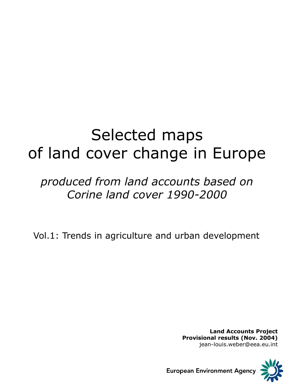
Selected maps of land cover change in Europe produced from land accounts based on Corine land cover 1990-2000. Vol.1: Trends in agriculture and urban development. Land Accounts Project Provisional results (Nov. 2004) jean-louis.weber@eea.eu.int. Land Accounts

E N D
Selected maps of land cover change in Europeproduced from land accounts based on Corine land cover 1990-2000 Vol.1: Trends in agriculture and urban development Land Accounts Project Provisional results (Nov. 2004) jean-louis.weber@eea.eu.int
Land Accounts • Land cover accounts interpret land cover changes and convert them (group them) in flows that explicit the processes, driven either by human activities or by natural conditions, that take place. They measure on the one hand the consumption of land cover of the initial year and, on the other hand, the formation of new land covers. Land cover accounts are part of the land and ecosystem accounting framework that aims at creating novel statistics that help describing the interactions between human activities and their environment, taking into consideration the place where things happen and possible conflicts. • Land cover change maps: • examples for 3 subjects • Diversification of the landscape • Agricultural conversions • Urban sprawl Results as from 16 Nov 2004 using the land cover accounts methodology (LEAC). Accounts are computed by grid cells of 3x3km or 900 hectares; %ages are calculated on this basis. Data not yet processed for Germany (part), Portugal, Greece, Bulgaria, Denmark, Finland Sweden, UK. Background map: natural potential index combining all CLC classes with pasture plus forest, semi-natural and natural land; bright green corresponds to a threshold value of 60-70%, well correlated at the macro level with ecological corridors Urban (morphological) zones are mapped from CLC1990 and selected when they represent a population > than 50 000 hab. JLW
Differentiation of the European agricultural landscape: conversion of forests & natural land to agriculture, conversions between pasture & crops and withdrawal of farming EEA/Land Accounts Project Provisional results (Nov. 2004) jean-louis.weber@eea.eu.int
Differentiation of the European agricultural landscape: conversion of forests & natural land to agriculture, conversions between pasture and crops, withdrawal of farming EEA/Land Accounts Project Provisional results (Nov. 2004) jean-louis.weber@eea.eu.int
Conversion of land to agriculture Net conversions between pasture and crop land Withdrawal of farming Differentiation of the European agricultural landscape: conversion of forests & natural land to agriculture, conversions between pasture and crops, withdrawal of farming EEA/Land Accounts Project Provisional results (Nov. 2004) jean-louis.weber@eea.eu.int
Internal conversions in agriculture: development of crops over pasture vs. extension of fallow land and set asides EEA/Land Accounts Project Provisional results (Nov. 2004) jean-louis.weber@eea.eu.int
Internal conversions in agriculture: development of crops over pasture vs. extension of fallow land and set asides EEA/Land Accounts Project Provisional results (Nov. 2004) jean-louis.weber@eea.eu.int
Internal conversions in agriculture: development of crops over pasture vs. extension of fallow land and set asides EEA/Land Accounts Project Provisional results (Nov. 2004) jean-louis.weber@eea.eu.int
Internal conversions in agriculture: in Ireland, development of crops over pasture (forage production according to agriculture statistics overcome widely the extension of fallow land and set asides EEA/Land Accounts Project Provisional results (Nov. 2004) jean-louis.weber@eea.eu.int
Conversions in agriculture: processes of withdrawal of agriculture and extension of pasture vs. conversions to crop land coexist in fast changing regions EEA/Land Accounts Project Provisional results (Nov. 2004) jean-louis.weber@eea.eu.int
Conversions in agriculture: withdrawal of agriculture and extension of pasture in upland vs intensification in lowlands seems more likely to happen, with exceptions (e.g. Germany) EEA/Land Accounts Project Provisional results (Nov. 2004) jean-louis.weber@eea.eu.int
Total urban sprawl Urban sprawlin Europe : EU15: ~1990 - 2000Accession countries: ~1994 - 2000 EEA/Land Accounts Project Provisional results (Nov. 2004) jean-louis.weber@eea.eu.int
Total urban sprawl Urban sprawlin the Mediterraneanregion: from hinterland till coast EEA/Land Accounts Project Provisional results (Nov. 2004) jean-louis.weber@eea.eu.int
Total urban sprawl Urban sprawlin Ireland takes place mainly in the countryside EEA/Land Accounts Project Provisional results (Nov. 2004) jean-louis.weber@eea.eu.int EEA/Land Accounts Project Provisional results (Nov. 2004) jean-louis.weber@eea.eu.int
Total urban sprawl Urban sprawl in the Netherlands and northern and eastern Germany is much more extended than in the new EU Member States (note that the gap is magnified by a difference in the period covered 10 years or more in the West, 6 in the East) EEA/Land Accounts Project Provisional results (Nov. 2004) jean-louis.weber@eea.eu.int
Total urban sprawl Urban sprawl in eastern Germany is much more extended than in Poland, Czech Republic, Slovakia or Romania (note that the gap is magnified by a difference in the period covered 10 years in Germany, 6 on average in the other countries) EEA/Land Accounts Project Provisional results (Nov. 2004) jean-louis.weber@eea.eu.int
Total urban sprawl Roads Urban sprawl in France is guided, to a large extent, by transport infrastructures EEA/Land Accounts Project Provisional results (Nov. 2004) jean-louis.weber@eea.eu.int