Download
1 / 13
130 likes | 245 Vues
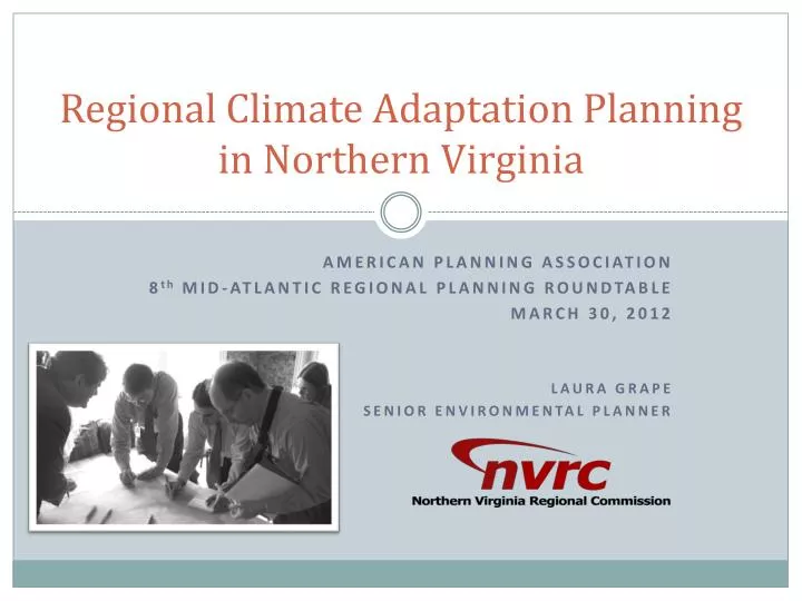
Regional Climate Adaptation Planning in Northern Virginia. AMERICAN PLANNING ASSOCIATION 8 th MID-ATLANTIC REGIONAL PLANNING ROUNDTABLE MARCH 30, 2012 LAURA GRAPE SENIOR ENVIRONMENTAL PLANNER. A Snapshot of Two Projects. Sustainable Shorelines & Community Management.

E N D
Regional Climate Adaptation Planningin Northern Virginia AMERICAN PLANNING ASSOCIATION 8th MID-ATLANTIC REGIONAL PLANNING ROUNDTABLE MARCH 30, 2012 LAURA GRAPE SENIOR ENVIRONMENTAL PLANNER
A Snapshot of Two Projects Sustainable Shorelines & Community Management Conservation Corridor Planning in Northern Virginia • Collecting Data • Assessing Vulnerability • Sea Level Rise • Storm Surge • Developing Strategies • Protect • Accommodate • Retreat • Adapting to Change • Identifying Natural Assets • Quantifying Benefits • Water & Air Quality • Carbon Sequestration • Highlighting Relationships • Basic Needs/Public Health • Cultural/Recreational • Connecting the Region
Historic Storm Surge Source: Coastal Sensitivity to Sea-Level Rise: A Focus on the Mid-Atlantic Region.US Climate Change Science Program, January 2009.
Belle Haven/New Alexandria During Isabel Photo courtesy of Fairfax County Police Department
Areas at Risk in Northern Virginia Sea Level Rise Storm Surge
City of Alexandria’s Energy and Climate Change Action Plan 2012 - 2020http://alexandriava.gov/uploadedFiles/tes/oeq/info/EnergyandClimateActionPlan_April-20-2011-EPC.pdf
LoudounCounty 206.2 acres of Tier 1 Habitat DoI = 300 acres 4 Elements of Occurrence FairfaxCounty
Relationship between drinking water resources and natural resources.
Regional Connections POTOMAC RIVER CORRIDOR A POTOMAC GORGE – QUANTICO CORRIDOR B BULL RUN – OCCOQUAN CORRIDOR C BULL RUN MTN – CATOCTIN MTN CORRIDOR D BLUE RIDGE – SHORT HILL CORRIDOR E
Thank you! Laura Grape Senior Environmental Planner Northern Virginia Regional Commission lgrape@novaregion.org 703.642.0700