Download
1 / 27
270 likes | 473 Vues
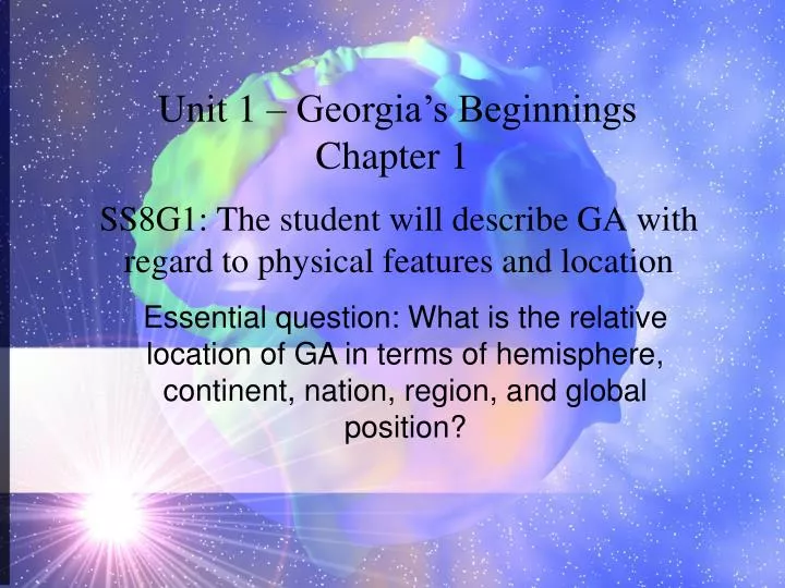
Unit 1 – Georgia’s Beginnings Chapter 1. Essential question: What is the relative location of GA in terms of hemisphere, continent, nation, region, and global position?. SS8G1: The student will describe GA with regard to physical features and location. Section 1 – What is Geography?.

E N D
Unit 1 – Georgia’s Beginnings Chapter 1 Essential question: What is the relative location of GA in terms of hemisphere, continent, nation, region, and global position? SS8G1: The student will describe GA with regard to physical features and location
Section 1 – What is Geography? Locate GA in relation to region – southeastern U.S.
Locate GA in relation to nation – United States of America
Locate GA in relation to continent – North America
Locate GA in relation to: hemispheres – northern and western
What is GA’s absolute location? Latitude: 30° – 35° N Longitude: 80°-85° W
What is GA’s relative location? • South of Tennessee • North of Florida • West of North and South Carolina • East of Alabama
Section 2: Geographic Regions of GA SS8G1b: Describe the five geographic regions of GA: include the Blue Ridge Mountains, Valley and Ridge, Appalachian Plateau, Piedmont, and Coastal Plain Essential question: What are the significant geographic regions of GA and how have they impacted GA’s growth and development?
Blue Ridge Region • Located in northeastern part of state • Highest and most mountains in GA are here • Brasstown Bald – highest peak in GA; from here can see NC, SC, & TN • Provides water for our entire state because it gets the most precipitation
Blue Ridge Region Upper right hand corner of the state (northeastern corner)
Ridge and Valley Region • Located between Appalachian Plateau and Blue Ridge regions • Best known for its industry of textiles and carpets • Dalton, GA – “carpet capital of the world”
Ridge and Valley Region northern center of the state
Appalachian Plateau Region • Smallest region • Called the TAG corner – this is where GA touches TN and AL • Region contains lots of caves, rock groups, and deep canyons
Appalachian Plateau Region Far left corner of state (northwestern corner)
Piedmont Plateau Region • Begins in foothills of mountains and • extends south to middle portion of state • Soil is red clay and granite • About ½ of GA’s population live here • Known for some farm and cattle production, also business and industry • We live in this region!
Piedmont Plateau Region Middle of state
Coastal Plain Region • Largest region in the state • Located south of the Piedmont • Inner Coastal Plain – major agricultural region of state • Outer Coastal Plain – land is marshy • Produces naval stores and pulp • Naval stores – products made from pine trees like tar, pitch, turpentine, rosin • Pulp – ground wood that is made into paper
Coastal Plain Region Southern half of state
SS8G1c: Locate and evaluate the importance of key physical features on the development of GA; include the Fall Line, Okefenokee Swamp, Appalachian Mountains, Chattahoochee River, Savannah River, and the barrier islands. Section 2 continued
Fall Line • Natural boundary separating Piedmont Plateau and Coastal Plain • Line runs from Columbus (west), through Macon (center), and into Augusta (east) • Elevation drops and creates waterfalls • Early settlers and Indians built settlements here because of fertile land and waterfalls which were excellent power source
Okefenokee Swamp • Largest swamp in North America • Is a freshwater wetland • Brings tourism dollars to GA
Appalachian Mountains • GA’s three northern regions are all part of this mountain chain • Appalachian Trail runs from GA north to Maine • Beginning of the Appalachian Trail is in the Ridge and Valley region
Chattahoochee River • Flows from the mountains of north GA to the Gulf of Mexico • Forms the natural western border between GA and AL • Provides recreational activities which bring tourism dollars to our state • Provides transportation
Savannah River • Only river that flows into GA from another state • Provides eastern border between GA and South Carolina • Provides recreational activities which bring tourism dollars into state • Provides transportation
Barrier Islands • Protect GA’s beaches by blocking much of wind, sand, and water that could erode mainland • Cumberland Island – a barrier island and national seashore • Places for recreational activities which bring tourism dollars to state
Section 3: Georgia’s Climate SS8G1d: Evaluate the impact of climate on Georgia’s development Essential Question: How has climate played a role in Georgia’s growth and development?
GA’s mild climate attracts people and business to the state • Mild climate means • longer growing season for agriculture • Lower heating and air conditioning costs • Minimum weather problems that interfere with work or school