Lewiston Porter Studies
This document outlines the history of the Lewiston-Porter Schools site, focusing on past industrial activities, such as Air Force storage and radium storage, and their impact on the environment. It discusses current cleanup efforts related to CWM hazardous waste and modern landfill practices. The project emphasizes public participation, with stakeholder involvement in planning, sampling, and GIS analysis. Strategies for effective communication and input collection from residents, as well as methods for identifying pollutants and remediation areas, are highlighted for community awareness.

Lewiston Porter Studies
E N D
Presentation Transcript
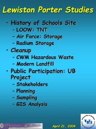
Lewiston Porter Studies • History of Schools Site • LOOW: TNT • Air Force: Storage • Radium Storage • Cleanup • CWM Hazardous Waste • Modern Landfill • Public Participation: UB Project • Stakeholders • Planning • Sampling • GIS Analysis
Public Input • Stakeholders committee (jobs: collect input, oversee deadlines, reporting and help review design and results). • Sampling points (any one with geographic knowledge about the area,history, etc., to supplement what the Roberts have put together). • Input on public knowledge and concerns: phone, mail, email, website • Website: www.acsu.buffalo.edu/~gardella/lewport
Key GIS Issues • Identify regions and pollutants of concern by comparison to background levels and other similar soil types • Identify SOURCES by historical analysis • Identify area for remediation using Kriging or Inverse Distance Weighting vs. FENCELINE