Download
1 / 7
70 likes | 176 Vues
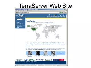
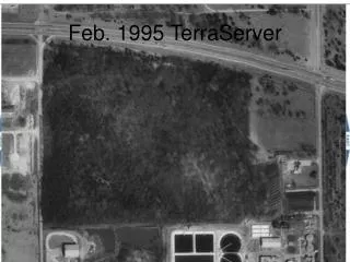
Explore the evolution of aerial and satellite imagery of the City of Norman, Oklahoma, from February 1995 to December 2003. This documentation includes data from TerraServer, Google Earth, and Virtual Earth, showcasing views from various seasons, including winter 2007-2008. The images illustrate changes in the urban landscape and environmental features, providing insights into the city’s development over the years. Discover the transformation of Norman through these visual records, which serve as a valuable resource for historians, urban planners, and residents alike.

E N D