Remote Sensing and Land Use Change Analysis in the FNNR Region for PES Goals
This paper explores land use and cover changes in the FNNR region, comparing areas eligible and ineligible for Payment for Ecosystem Services (PES) goals. It discusses an agent-based model (ABM) framework, detailing initial programming stages for sub-models that examine variables such as fertility, migration, marriage, and economic decision-making impacts on land change. The study emphasizes the need for accurate census data and high-resolution remote sensing information, including qualitative cultural insights and ground truth sites related to forest classifications.

Remote Sensing and Land Use Change Analysis in the FNNR Region for PES Goals
E N D
Presentation Transcript
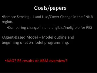
Remote Sensing – Land Use/Cover Change in the FNNR region. • Comparing change in land eligible/ineligible for PES Goals/papers Agent-Based Model – Model outline and beginning of sub-model programming. • AAG? RS results or ABM overview?
Data needed For ABM Survey data (variables for fertility, migration, marriage, land change/economic decision making sub-models) Census data Accurate land-cover/land use classification (see below) Qualitative/cultural info • For RS • ground truth sites – forest type and forest/non-forest. • Or: higher resolution data?
I’m happy to participate where needed. Fieldwork