Download
1 / 6
60 likes | 162 Vues
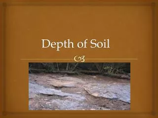
This project focused on developing a comprehensive global soil depth dataset, including depth-to-bedrock measurements from 0-50 meters. Four grids will be produced, indicating average soil depth on hillslopes, valley bottoms, and wetlands. The dataset will distinguish upland hillslopes, upland valley bottoms, and lowlands, utilizing various soil depth estimation techniques. The mapping process will involve geomorphic methods for identifying topographic features, with a focus on areas with different drainage characteristics. The project aims to map soil depth at high resolutions, ranging from 1 km to 30 m per pixel, using diverse environmental parameters and calibration with existing soil datasets. The resulting maps will provide valuable information on soil thickness in the U.S. and globally, facilitating land management and environmental planning.

E N D
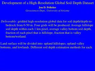
Development of a High-Resolution Global Soil Depth Dataset Jon D. Pelletier Geosciences Dept., University of Arizona Deliverable: gridded high-resolution global data for soil depth/depth-to-bedrock from 0-50 m. Four grids will be produced: Average hillslope soil depth within each 1 km pixel, average valley bottom soil depth, fraction of each pixel that is hillslope, fraction that is valley bottom/wetland. Land surface will be divided into: upland hillslopes, upland valley bottoms, and lowlands. Different soil depth estimation methods for each.
Lowlands and upland valley bottoms will be mapped globally at 1 km/pixel and 30 m/pixel based on a geomorphic method which identifies all topography within a prescribed elevation difference from the valley bottom that increases with increasing drainage area. In areas that are wetlands at 1 km/pixel scale, soil depth will be > 50 m.
On U.S. uplands, soil depth is a function of hillslope curvature, mean annual precipitation, and geology. Geomorphic models calibrated with CONUS-Soil data provide a basis for estimating upland soil depth for validation against European Soil Database and prediction worldwide at 30 m/pixel.
Resulting map of soil thickness on upland hillslopes in conterminous U.S.
In lowlands and upland valley bottoms, depth-to-bedrock for groundwater wells for conterminous U.S. will be used to constrain a model based on distance from nearby steep hillslopes. This method effectively treats valley bottoms as low-order polynomial surfaces.