
Establishing a GIS Clearinghouse for Virginia: Strategic Plan for Enhanced Data Collaboration
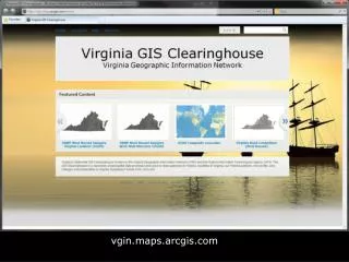
The 5-Year Strategic Plan for VGIN emphasizes the necessity of a GIS Clearinghouse, with ArcGIS Online (AGOL) identified as the solution for Virginia's geospatial data needs. This initiative will transition the existing metadata portal to AGOL, creating a virtual clearinghouse of authoritative GIS data. Each agency will maintain its own ArcGIS Online instance, sharing their authoritative data within thematic content groups like parcels and environment. This collaborative structure aims to enhance the accessibility and usability of geographic information across local, state, and federal agencies.

Establishing a GIS Clearinghouse for Virginia: Strategic Plan for Enhanced Data Collaboration
E N D
Presentation Transcript
Background • VGIN 5 Year Strategic Plan identified the need for a GIS Clearinghouse • Through GIS Clearinghouse work group efforts, AGOL identified as the solution for Virginia • Transitions: Metadata portal to ArcGIS Online (AGOL)
What Goes into a GIS Clearinghouse? • “Authoritative Data” – what does it mean? • Formal definition • Applied/practical definition • If an agency creates and maintains a GIS data layer to support their business needs, then that agency is the source and business owner of an authoritative GIS data layer
Proposed Structure of the GIS Clearinghouse Network Structure Makes use of the ESRI Entitlement Program A virtual clearinghouse composed of many ArcGIS Online instances, tied together using content groups
How Do We Create the Network? Implementation Plan • Each agency sets up their own ArcGIS Online • They author and share their authoritative data on their site • They share the posted authoritative data with groups on the Virginia GIS Clearinghouse • thematic content groups: Parcels, Elevation, Environment, Transportation, etc. • User category groups: local governments, state agencies, federal agencies, partners, etc. (for restricted access)
State Agency GIS Data Inventory • Part of GIS Survey from 2012 • 17 Agencies completed • VSP VCSC VEDP Tax DEQ DOF VDOT VDH DMME VOF MRC DMAS DHCD DGS DGIF DCJS ABC


