1 / 5

Green Bay Area of Concern Sediment Plume Extent Maps (May-June 2011)

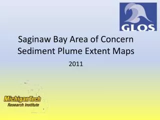
This document presents a series of sediment plume extent maps for the Green Bay Area of Concern, detailing observations made on May 6, May 17, May 18, and June 29 of 2011. The maps illustrate the spread and concentration of sediment plumes in the area, providing critical information for environmental assessments and remediation efforts. These visual representations are essential for understanding the impact of sediment on local ecosystems and can assist in ongoing monitoring and management strategies.

keran
Télécharger la présentation

Green Bay Area of Concern Sediment Plume Extent Maps (May-June 2011)

An Image/Link below is provided (as is) to download presentation Download Policy: Content on the Website is provided to you AS IS for your information and personal use and may not be sold / licensed / shared on other websites without getting consent from its author. Content is provided to you AS IS for your information and personal use only. Download presentation by click this link. While downloading, if for some reason you are not able to download a presentation, the publisher may have deleted the file from their server. During download, if you can't get a presentation, the file might be deleted by the publisher.

E N D

More Related