Download
1 / 25
290 likes | 1.36k Vues
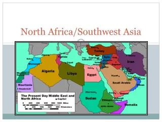
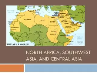
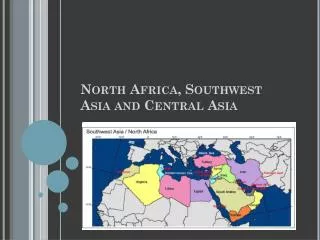
Southwest Asia and North Africa. Golan Heights and the West Bank. Occupied by Israel in the 1967 war, the Golan Heights is the source of the Jordan River, which provides Israel with water for irrigation and drinking.

E N D
Golan Heightsand the West Bank Occupied by Israel in the 1967 war, the Golan Heights is the source of the Jordan River, which provides Israel with water for irrigation and drinking. The West Bank of the Jordan River was also part of Jordan. During the 1967 war Israel seized the territory.
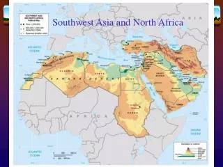
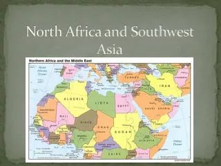
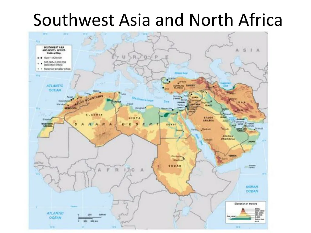
Landforms • Peninsulas • Arabian • Anatolian
Strategic Waterways • Red Sea • Part of Rift Valley • Suez Canal • Access to Mediterranean and Europe from Asia • Bosporus and Dardanelles • Control access from Russia, Danube, to Mediterranean • Straits of Hormuz • Control access from Persian Gulf to ocean • Bab al Mandeb
Plains and Highlands • Arabian peninsula • Dry, sandy • Plateau of Iran • Stony, salty, sandy desert • Anatolian Plateau • Agriculture, grazing lands • Northern Plain of Afghanistan –Bamyan valley • Isolated, agricultural lands • Hejaz Mtns, western Arabian peninsula Bamyan Valley, Afghanistan
Mountains • Hindu Kush • Zagros Mtns • Elburz Mtns • Taurus Mtns • Atlas Mtns Hindu Kush Zagros Mtns Taurus Mtns
Bodies of Water • Tigris and Euphrates Rivers • Mesopotamia, or the Fertile Crescent • Jordan River • Nile River • World’s Longest • More than 95% of Egyptians depend on it for water • Dead Sea • Lowest elevation -1,349 ft below sea level • Salty water, landlocked
Sandy Deserts • Rub al Khali • Largest expanse of sand in the world • Size of Texas • Al Nafud • Syrian Desert • Negev
Salt Deserts • In Iran • Salt flats • Dasht-e Kavir • Dasht-e Lut
Sahara Desert 20% sand, rest is mountains, rock formations & gravelly plains Stores of underground water – Aquifers Water that has come to the surface - Oasis North Africa
Semiarid lands and Coastal Areas • Semiarid • On edge of deserts • Good pasture • Some crops grown in wet years • Coastal areas • Along Mediterranean coast line • Densely populated and farmed • Along Tigris and Euphrates/Nile River • Water for irrigation • Numerous dams • Fights over access to water
Fresh water is a vitalenvironmental resource in the Middle East. • Jubail desalination plant in Saudi Arabia • largest in the world • 800 million gallons per day • generating 5,000 megawatts of power
Oil spill, Lebanon Exxon Valdez spill, Alaska