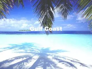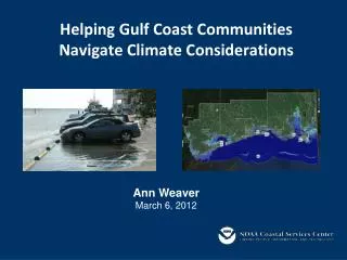
Helping Gulf Coast Communities Navigate Climate Considerations
210 likes | 369 Vues
Helping Gulf Coast Communities Navigate Climate Considerations. Ann Weaver March 6, 2012. Overview. NOAA Coastal Services Center Climate Focus Data, Tools, Training Collaborative Efforts. NOAA Coastal Services Center Climate Commitment.

Helping Gulf Coast Communities Navigate Climate Considerations
E N D
Presentation Transcript
Helping Gulf Coast Communities Navigate Climate Considerations Ann Weaver March 6, 2012
Overview • NOAA Coastal Services Center Climate Focus • Data, Tools, Training • Collaborative Efforts
NOAA Coastal Services Center Climate Commitment • The Center provides the data, tools, and information coastal communities need: • • To understand the impacts of climate variability and change • • To take the steps necessary to plan for, respond to, • and adapt to climate risks
“Snapshots” of Your County Coastal County Snapshots www.csc.noaa.gov/digitalcoast/tools/snapshots/
“Snapshots” of County Flood HazardsJackson County, Mississippi
CanVis Visualization Software www.csc.noaa.gov/digitalcoast/tools/canvis/
CanVis Visualization Software • Easy to Use • No Geographic Information • System (GIS) Required Present Day / Current Conditions Simulation Approximately 1.5 meters (~5 feet) above Mean High Water
Sea Level Rise and Coastal Flooding Impacts Viewerwww.csc.noaa.gov/digitalcoast/tools/slrviewer/
Sea Level Rise Impacts Current 1 ft. SLR
Marsh Impacts Current
Marsh Impacts 1 ft. SLR
Sea Level Rise Exercise Training • Coastal Community Planning and Development • Roadmap for Adapting to Coastal Risks • Coastal Inundation Mapping • CanVis • Project Design and Evaluation • Public Issues and Conflict Management
Climate Community of Practice (CoP) • What is a Climate CoP? • EOE professionals working together to: • Achieve common outcomes; • Learn from each other; and, • Develop a set of effective common approaches that can be refined over time. • Partners • NERRs • NEPs • Sea Grant Programs • CZMPs • CSC • National Marine Sanctuaries • NMFS • USGS • IOOS • RISAs • Objective • To create a climate-literate public that: • Understands its vulnerabilities to a • changing climate and • Makes informed decisions. • April 16-18 at Bourbon Orleans
Questions? Ann WeaverAnn.Weaver@noaa.gov(228-688-2061)orMarian HaniskoMarian.Hanisko@noaa.gov(228) 818-8840