Download
1 / 18
180 likes | 207 Vues
Discover how Indianapolis seamlessly integrated GIS functionalities with Salesforce CRM. Explore the challenges faced, ESRI Maps for Salesforce application, and a simpler GIS solution to enhance location services effectively.

E N D
Integration of GIS Functionality with Salesforce.com Joe LaCombe Indiana GIS Conference 2016
Goals • Indianapolis implemented new Customer Relationship Management (CRM) System • Service requests, requests for information, etc. • Integrate with the GIS – address validation, location validation, duplicate checks • Completely within CRM
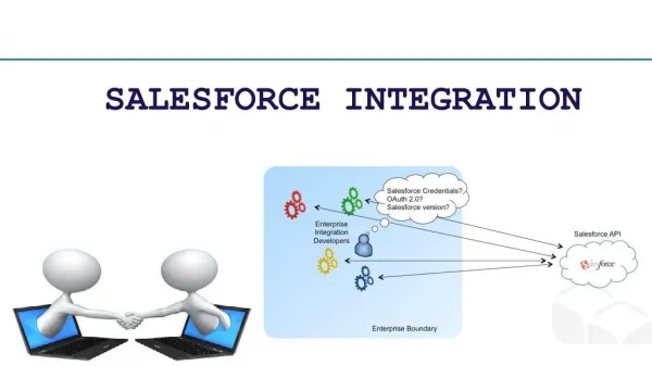
Salesforce.com at the City of Indy • Allows taking service requests from citizens • A leader in CRM systems • Web-based • Cloud hosted • Customizable • Expandable functionality
GIS Challenge • Showing and validating locations of requests • Tools available from Salesforce (through their AppExchange) • MapAnything • geopointe • Others… • Mainly for visualization and analytics of data in Salesforce • Can’t be fully integrated with the City of Indianapolis GIS
GIS Challenge • We needed more flexibility • Want to validate against our address database and locators • Want to use our basemaps • Want to use our spatial web services for additional mapping and analysis • Plugins and 3rd party tools did not provide this • Additional cost for maintenance/support
ESRI Maps for Salesforce • ArcGIS Online based application from ESRI • Uses ArcGIS Online to authenticate users • License is needed for each call representative
Simpler GIS Solution • Salesforce.com is a web solution • We have an existing citizen portal that does this • Plugin a component through iFrame • GIS iFramecomponent abstracts GIS functionality from RequestIndy and can be plugged in to the application • Communication using post messages
GIS iFrame Technical Aspects • Salesforce is on secure domain, the GIS iFramehas to be on one too • The iFrame has to be on public domain • Connections to non-secure resource (map services, any other web services) have to be done through a proxy handler • Has to work on Internet Explorer 9+
GIS iFrame Functionality at a Glance • Address Validation – right address of an incident • Duplication Check – check against existing open requests for duplicates • Jurisdiction Check – make sure we maintain it • Spatial Analysis – retrieving additional spatial information about location
Based on type of address • Parcel/building/unit • Street • Park • Type of input • Manual address entrance • Manual intersection input • Click on map Address Validation
Spatial component (proximity of service requests from each other) • Buffer • Same street • Temporal component (time passed between submission of requests) Duplication Check
Based on Maintenance Jurisdiction attribute of centerline (DPW vs INDOT) Based on the city where the incident occurs (Indianapolis vs Speedway) Jurisdiction Check
Township Solid waste collection info Census Voting district information Closest intersection Neighborhood liaison Registered neighborhood organizations info Other info… Spatial Analysis
Technology • ESRI JavaScript API (Dojo) and existing web services • Few more words about ESRI Maps for Salesforce: Reference: http://www.esri.com/software/location-analytics/esri-maps-for-salesforce
Summary • Utilized existing functionality and validation services • Promoted reuse of components • Simpler implementation • More effective integration between Salesforce and the GIS • Flexible for the future