Download
1 / 21
210 likes | 379 Vues
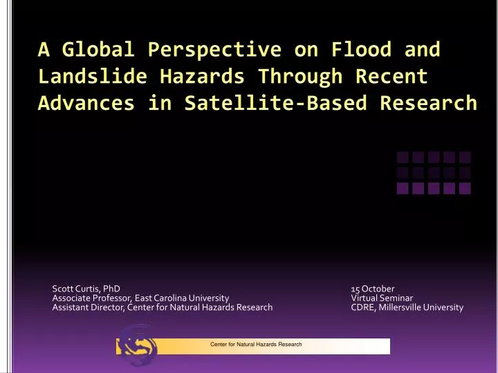
A Global Perspective on Flood and Landslide Hazards Through Recent Advances in Satellite-Based Research. Scott Curtis, PhD 15 October Associate Professor, East Carolina University Virtual Seminar Assistant Director, Center for Natural Hazards Research CDRE, Millersville University.

E N D
A Global Perspective on Flood and Landslide Hazards Through Recent Advances in Satellite-Based Research Scott Curtis, PhD 15 October Associate Professor, East Carolina University Virtual Seminar Assistant Director, Center for Natural Hazards Research CDRE, Millersville University Center for Natural Hazards Research
Center for Natural Hazards Research • Established in 2004, with the impetus being the 1999 Hurricane Floyd flood • CNHR’s mission is to promote research and analysis that ultimately reduces the harm caused by forces of nature to life, communities, and the environment • Dr. Jamie Kruse (director, temporarily at NOAA), Dr. Craig Landry (interim director), Dr. Scott Curtis (assistant director) • Hurricane Floyd Symposium • www.ecu.edu/hazards Center for Natural Hazards Research
Motivation • Floods and landslides represent the most extreme hazards, especially in terms of loss of life • Overpopulation and socio-economic pressures have forced some of the most vulnerable populations into areas of high risk (flood plains and hillsides) • Further, land degradation and climate change have exacerbated the problem Center for Natural Hazards Research
Pakistan, July-August, 2010 China, August, 2010 Center for Natural Hazards Research
Issues with Global Landslide and Flood Detection/Quantification • Lack of in situ data • Transboundary complications • Modeling complexities (Wolf et al. 1999; Hossain et al. 2007) Center for Natural Hazards Research
Hossain et al. (2007) Center for Natural Hazards Research
Tropical Rainfall Measuring Mission (TRMM) • The majority of floods and landslides are ultimately caused by extreme rainfall • The Tropical Rainfall Measuring Mission was launched in 1997 and is still flying today • Through passive and active sensors onboard as well as complementary satellites, we have learned more about tropical rainfall than ever before • TRMM Multi-Satellite Precipitation Analysis (TMPA) Center for Natural Hazards Research
To obtain and study multi-year science data sets of tropical and subtropical rainfall measurements. To understand how interactions between the ocean, air, and land masses produce changes in global rainfall and climate. To improve modeling of tropical rainfall processes and their influence on global circulation in order to predict rainfall and its variability at various space and time scales. To test, evaluate, and improve satellite rainfall measurement techniques. Center for Natural Hazards Research
TRMM and Extreme Rainfall ENSO Variability (Curtis et al. 2007) Center for Natural Hazards Research
TRMM and the Hurricane Floyd Flood (Curtis, Crawford, Lecce 2007) Center for Natural Hazards Research
Curve numbers • Curve numbers are based on empirical rainfall-runoff relationships • Q = (P - 0.2S)2 / (P + 0.8S) and CN = 1000 / (S + 10); where Q = discharge, P = precipitation, S = maximum retention, and assuming initial abstraction is 20% of S. • CN 55, which fits the gauge and radar data reasonably well represents woodlands in good hydrologic condition. TMPA curve numbers are lower. Thus, if we had global CN numbers, they could be adjusted to account for the difference Center for Natural Hazards Research
TAR gauge radar TRMM NEUSE CAPE FEAR Center for Natural Hazards Research
Hong et al. (2007a) extended this work by deriving global CN numbers from remotely sensed data sets of soil and land use. Center for Natural Hazards Research
Hong et al. (2007b) Center for Natural Hazards Research
4% of the globe is in the “High” susceptibility category, concentrated in the tropics and subtropics Hong et al. (2007b) Hong , Adler, Huffman (2007) Center for Natural Hazards Research
“In the future, the increasing availability of improved yet low-cost remote sensing products that can support geographic information system (GIS)–based landslide models will likely be useful for disaster prevention for landslide-prone regions” • Hong, Adler, and Huffman (2007) Center for Natural Hazards Research
Hong et al. (2007b) http://trmm.gsfc.nasa.gov/publications_dir/potential_flood_hydro.html Center for Natural Hazards Research
Global Precipitation Measurement mission • To improve ongoing efforts to predict climate by providing near-global measurement of precipitation, its distribution, and physical processes • To improve the accuracy of weather and precipitation forecasts through more accurate measurement of rain rates and latent heating • To provide more frequent and complete sampling of Earth’s precipitation • Scheduled to launch 2013
References • Curtis, S., T.W. Crawford, and S.A. Lecce. 2007. A comparison of TRMM to other basin-scale rainfall during the 1999 Hurricane Floyd flood. Natural Hazards, 43:187-198. • Curtis, S., A. Salahuddin, R.F. Adler, G.J. Huffman, G. Gu, and Y. Hong. 2007. Precipitation extremes estimated by GPCP and TRMM: ENSO relationships. Journal of Hydrometeorology, 8:678-689. • Hong, Y., R.F. Adler, F. Hossain, S. Curtis, and G.J. Huffman. 2007a. Estimate gridded and time-variant runoff curve numbers using satellite remote sensing and geospatial data. Water Resources Research, 43:W08502. • Hong, Y., R.F. Adler, A. Negri, G.J. Huffman. 2007b. Flood and landslide applications of near real-time satellite rainfall products. Natural Hazards, 43:285-294. • Hong, Y., R.F. Adler, and G.J. Huffman. 2007. Satellite remote sensing for global landslide monitoring. EOS, 88:357-358. • Hossain, F., N. Katiyar, Y. Hong, and A. Wolf. 2007. The emerging role of satellite rainfall data in improving the hydro-political situation of flood monitoring in the under-developed regions of the world. Natural Hazards, 43:199-210. • Wolf, A., J. Nathrius, J. Danielson, B. Ward, and J. Pender. 1999. International river basins of the world. International Journal of Water Resource Development, 15:387-427. Center for Natural Hazards Research