Download

1 / 14
140 likes | 301 Vues
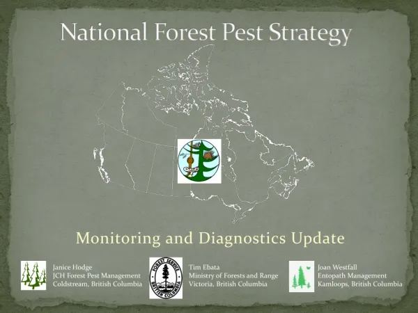
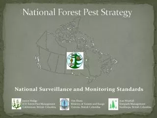
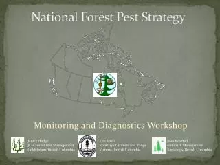
National Forest Pest Strategy. Monitoring and Diagnostics Workshop . Tim Ebata Ministry of Forests and Range Victoria, British Columbia. Janice Hodge JCH Forest Pest Management Coldstream , British Columbia. Joan Westfall Entopath Management Kamloops, British Columbia. Progress to Date.

E N D
National Forest Pest Strategy Monitoring and Diagnostics Workshop Tim Ebata Ministry of Forests and Range Victoria, British Columbia Janice Hodge JCH Forest Pest Management Coldstream, British Columbia Joan Westfall Entopath Management Kamloops, British Columbia
Progress to Date • Year 1 – 2008/09 • Collated P/T monitoring information and produced year-end report. • Year 2 – 2009/10 • Collected additional monitoring information; • Updated monitoring database; • Created spatial database of ‘permanent sample plots’ and aerial survey coverages; • Requested all high priority monitoring data from British Columbia forest health specialists and began developing a geodatabase for BC; and • Developed a draft monitoring scheme (good, better, best).
2009/2010 Deliverables • Summary of National Monitoring Capacity (revised) • Current National Monitoring database • Proposed National Monitoring Scheme/Plan
“ A key initial decision in designing a monitoring program is balancing the need to monitor for current management issues against the need to detect future, perhaps unforeseen threats to (park) ecosystems. A monitoring program that only focuses on well-known threat/ response relationships will not provide the long-term information and understanding necessary to address unanticipated, high-priority issues that will arise in the future.” Excerpt from “Northeast Temperate Network Vital Sings Monitoring Plan”, National Park Service, Technical Report NPS/NER/NRTR –206/059
Monitoring Summary - Recap • Gaps in Northern Canada and urban areas • Low percentage of plots monitored annually • Majority of ground monitoring plots are pest specific; very few at an ecosystem or forest type level ex. CIPHA. • Although some ecozones appear adequately monitored (proportional representation) the spatial distribution may not be adequate.
Ground monitoring (annual and variable) summary by Forested portions of Ecozones
Standardization of pest codes and host species codes • BC pest codes 3 letter codes could be expanded to include all MFD’s IDW = Insect, Defoliator, Western spruce budworm could be expanded to 4 letters to accommodate hardwoods IDCW = Insect, Defoliator, Conifer, Western spruce budworm IDHF = Insect, Defoliator, Hardwood, Forest tent caterpillar • Host species coding • Presently no consistency between provinces • 2001 CANFI numeric coding ? • 2006 NFI coding – genus + species ?
Workshop Wish List • What are our objectives? What are we trying to measure? What question are we trying to answer (a la Taylor Scarr!)? • Ecosystem or pest-based? • Commercial forest or all forest? Or vary by monitoring scenario? • Is there a need for methodology/threshold standardization or are algorithms adequate? Host and pest coding standards? • Identify linkage with risk analysis. • What attributes should be collected in the better and best scenario ground plots? What type of plot (ex. fixed radius)? • Is remote sensing a feasible and reliable option for remote areas? • For plot placement how do we stratify the landbase? Ex. proportional representation by ? Is statistical validity required?
Ownership class of forest and other wooded land, CANFI 2001.