Download
1 / 20
250 likes | 494 Vues
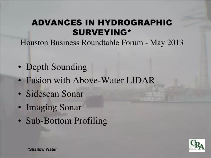
ADVANCES IN HYDROGRAPHIC SURVEYING* Houston Business Roundtable Forum - May 2013. Depth Sounding Fusion with Above-Water LIDAR Sidescan Sonar Imaging Sonar Sub-Bottom Profiling. *Shallow Water. Depth Sounding. Single Beam Sounders Profiles only directly beneath transducer

E N D
ADVANCES IN HYDROGRAPHIC SURVEYING*Houston Business Roundtable Forum - May 2013 • Depth Sounding • Fusion with Above-Water LIDAR • Sidescan Sonar • Imaging Sonar • Sub-Bottom Profiling *Shallow Water
Depth Sounding • Single Beam Sounders • Profiles only directly beneath transducer • Available in single (200Khz) and dual-frequency (~200kHz down to 24-40kHz) • Beamwidths from 3 to 8 degrees • 28% bottom coverage with 50 foot line spacing • Multibeam Systems • Covers swath up to 2.5 to 6 times water depth • Produces terrain model down to 2ft x 2ft grid over area surveyed • Can see under some vessels and docks • 200kHz to 450 kHz operating frequencies • Requires motion and heading sensors • Currently 1.5 to 2 times price of single beam survey • 100% Bottom coverage
Examples of Data Single Beam Depth Sounding
Examples of Data Single Beam Depth Sounding
Multibeam Sonars R2Sonic 2024 Odom MB-1 And new 2020 Reson 7125 Geoacoustics “Geoswath” Edgetech 4600 Swath/Sidescan
Examples of Data Multibeam Survey of Dock on the Houston Ship Channel MultibeamSurvey
Examples of Data Post-Dredge Multibeam Survey Dredge “Cut”
Examples of Data Mobile LIDAR LIDAR & Multibeam Depth Sounding Onshore Disposal Area
Sidescan Sonar • New dual (high) frequency Units • 400/900 kHz • 600/1600 kHz • All Digital • Chirp Technology • More sophisticated processing
Examples of Data Sidescan Sonar Pre-Dredge Debris Survey - HSC
Scanning Imaging Sonars • Mounted either on a pole over the side of a boat or on a tripod lowered to the sea bed. • Typically operates around 700 MHz but can go up to 1.35MHz and even 2.25 MHz. • Mechanically scanning sonar head • Limited coverage but very good resolution (no motion “smear”). • 3-D “Multibeam” models now available
The BlueView BV5000 3-D mechanically scanning sonar head creates high resolution imagery of structures and objects and a 3-D point cloud that can be brought into CAD for modeling. The Kongsberg Mesotech MS1000 series 1171 sonar head in a tripod.
Examples of Data Underwater Inspection Post-Ike Debris Recovery
Examples of Data Underwater Inspection
Sub-Bottom Profilers • High Frequency (3KHz to 20KHz) • Pingers – operate at 3.5 and 7-12 KHz. Output on graphic recorder. Self contained. • Chirps – work over a 10 MHz band. Computerized, very good resolution and slightly more penetration than the pingers. Can record data in several different formats on magneto-optical disk or DVD. Video and printer output. Interfaces to navigation computer for position data in data header and on fix marks. • Parametric systems – narrow beam formed by combination of low and high frequencies • Medium Frequency – (400 Hz to 1KHz) (Require a separately towed hydrophone cable) • Boomers – use an electrical pulse through two conducting plates to expand and collapse a rubber membrane. Typically record on paper with fix marks from a navigation computer. • Sparkers – look like a thick wiry toothbrush through which very high current is pulsed to create a large spark in the water. This liberates a gas bubble which implodes causing the acoustic wave. Usually records the same way as boomers. • Low Frequency (Low hundreds of Hz) – Require long hydrophone cable and large compressors • Water Guns – use high pressure water to create a vacuum in a chamber which is then opened to the sea as it implodes. Connected to sophisticated data recording system. • Air Guns – similar to water guns but use compressed air. Also used primarily for hydrocarbon exploration. Connected to sophisticated data recording system. • Sleeve Exploders – explodes propane gas in a thick rubber boot and causes a shockwave in the water. Was used for detecting relatively shallow gas pockets for locating hydrocarbons drill rigs. Connected to sophisticated data recording system.
Sub-Bottom Profilers Edgetech “Chirp” Fish Sparker Applied Acoustics Boomer Innomar SES2000 Parametric Sonar CODA Recording System
Examples of Data Sea Bed Sub-Bottom Profiler Sand Carbonate Rock Pipeline Location Geology for New Channel - Bahamas