Download
1 / 36
370 likes | 555 Vues
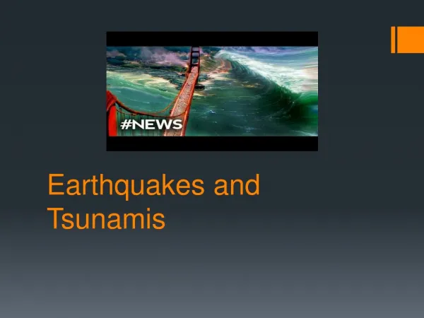
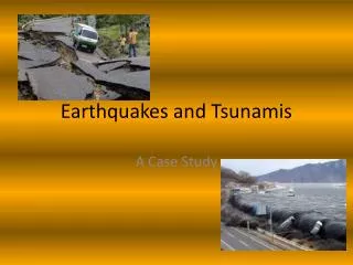
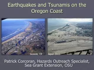
Earthquakes and tsunamis in the Puget Sound area from liquefaction evidence. presented by Lauren Savage. Snohomish River Delta. Snohomish River Delta. Snohomish River Delta. Snohomish Sedimentary Environments. In succession from deeper to shallower: subtidal channels

E N D
Earthquakes and tsunamis in the Puget Sound area from liquefaction evidence presented by Lauren Savage
Snohomish Sedimentary Environments In succession from deeper to shallower: • subtidal channels • lower intertidal flats and point bars • supratidal marsh • lower delta plain and levees
Subtidal • Subtidal environments currently submerged, so direct observation is impossible. • Mostly sand and gravel. • Source of sandy dikes and sand volcanoes that will be mentioned later.
Lower Intertidal • Location: near delta front and along channel point bars. • Contains sand, silt, and mud. • Unvegetated.
Upper Intertidal • Location: above lower intertidal flats, upper point bar and lower cutbank • Contains olive-grey mud. • Vegetation: Carex lyngbyei (sedge), Triglochin maritima (arrowgrass), Scirpus maritima (bulrush)
Upper Intertidal Vegetation Carex lyngbyei Triglochin maritima Scirpus maritima
Supratidal • Location: lower delta area • More vegetation and driftwood than Upper Intertidal. • Vegetation: Deschampsia caespitosa (tufted hair grass), Typha latifolia (broadleaf cattail), in addition to that found in Upper Intertidal region. • Upper 30 cm weathered and oxidized.
Delta Plain • Contains immature soils on a peaty mud substrate. • Vegetation: grasses, shrubs, trees.
Evidence of Seismic Activity • AD 130-530: Event A1 (Tsunami) • AD 420-640: Event A2 (Tsunami) • AD 850-980: Event B (Tsunami, Liquefaction, Subsidence) • AD 910-990: Event C (Liquefaction) • AD 1040-1400: Event D (Subsidence) • AD 1430-1640: Event E (Liquefaction)
Events A1 and A2 • A1 is a thin layer of medium-grained sand, and is present at one site. • A2 is a thin layer of course-grained to granule-rich sand, found 45-70 cm below A1. It is present at 5 sites, and was traced 40 meters at one site and 50 meters at another.
Events A1 and A2 • A1 - possible tsunami deposit • unusual grain size • deposited within supratidal environment • A2 - possible tsunami deposit • fines and disappears inland • deposited in intertidal and supratidal environments • sand deposited in thin sheet
Event B • Sand-Clay Couplet • 25-50 cm above A2 • deposited on vegetated olive-grey mud • layer of fine- to medium-grained sand • from a few mm to 5 cm thick • fines upstream • thicker over low topography, thinner over high
Event B • Layer of grey clay • 5 cm thick • thicker over low topography • no thickness variation between sites • medium light grey silty clay • sharp contact
Event B • Sand layer - tsunami deposit • thin, widespread layer • thins upstream and disappears • graded and top laminated (rapid deposition from suspension) • unique deposit since AD 700, so it must have been from a rare event • presence of subtidal diatoms
Event B • Liquefaction • sand dikes (mm-m wide) • some dikes cut through sand-clay couplet, meaning they are younger • others form sand volcanoes or spread laterally at the sand-clay couplet, meaning they occurred at the same time
Event B • Subsidence • no change in lithology above and below sand-clay couplet, but change in plant fossils • plant fossil succession from deeper to shallower • Carex • Triglochin • Scirpus acutus
Upper Intertidal Vegetation Carex lyngbyei Triglochin maritima Scirpus maritima
Event B - Subsidence • At one site, the Triglochin is found below the couplet, and Carex found above. Triglochin doesn’t reappear for another 50-75 cm. • At another site, spruce grows before the couplet, disappears after the couplet, and reappears 30-100 cm later. • Of 28 sites, 15 showed abrupt subduction of variable amounts. • Likely caused by compaction and liquefaction rather than tectonic subsidence.
Events C & E • Dikes that cut through the sand-clay couplet are younger and are not associated with event B. • Sand lenses (from sand volcanoes) occur at two different horizons, corresponding with events C and E.
Event D • Vegetation change: as in event B, plant species disappear at event D, only to reappear again 50-100 cm later. • Stratigraphic change: from olive-colored, plant-rich sediment to grey, plant-poor sediment
Possible Earthquake Sources • Events A1 and A2 (AD 130-640) • could be the result of tectonics or of a landslide • no other evidence for an earthquake, but there is a large undated landslide to NW
Possible Earthquake Sources • Event B (AD 850-980) • could correlate with an earthquake on the Seattle fault (AD 900-930), which is known to have produced a tsunami
Possible Earthquake Sources • Event C (AD 910-990) • post-dates large Seattle Fault earthquake • no evidence of faulting to NW • evidence for earthquake in Puget Lowland • could also be plate-boundary earthquake or deep intraplate earthquake
Possible Earthquake Sources • Event D (AD 1040-1400): • currently only one possible Puget Lowland earthquake at AD 1200 • Event E (AD 1430-1640): • little evidence for corresponding earthquake
Bibliography • Overmeier, S.F., 1998, Seismic Liquifaction Features: Examples from Paleoseismic Investigations in the Continental United States: U.S. Geological Survey Open-File Report 94-488. • Bourgeois, J. and Johnson, S.Y., 2001, Geological evidence of earthquakes at the Snohomish delta, Washington, in the past 1200 yr: GSA Bulletin, April 2001; p. 482-494. • Images: • http://bulletin.geoscienceworld.org/cgi/content/full/113/4/482/F04 • http://maps.google.com/ • http://dnr.metrokc.gov/WTD/carnation/images/homepage/snohomish-river.jpg • http://www.geocities.com/cpusrv/Debs-UCUT.jpg • http://aknhp.uaa.alaska.edu/aksedges/images/cover2.jpg • http://www.em.ca/garden/native/triglochin_maritima1.JPG • http://tematico.princast.es/mediambi/siapa/web/espacios/espacios/rn/eo/eo_limonium_th.jpg • http://pubs.usgs.gov/of/1998/of98-488/thumbs.html