Impacts of Low Pressure System on Eyjafjallajökull Ash Dispersal, May 15-17, 2010
50 likes | 144 Vues
This presentation discusses the effects of a low-pressure system on ash dispersal routes from the Eyjafjallajökull volcano. Data from May 15-17, 2010, including wind direction and trajectory analysis at 2, 3, and 5km levels, were examined. The results show that the ash cloud initially approaches Scotland, with Norway being unaffected until later on.

Impacts of Low Pressure System on Eyjafjallajökull Ash Dispersal, May 15-17, 2010
E N D
Presentation Transcript
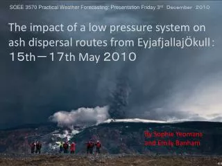
The impact of a low pressure system on ash dispersal routes from EyjafjallajÖkull: 15th-17th May 2010 SOEE 3570 Practical Weather Forecasting: Presentation Friday 3rd December 2010 By Sophie Yeomans and Emily Banham
What we did: • Edited the namelist file to the correct time and location: Where: (Iceland/Scotland/Norway) • 1 domain… • Co-ordinates: Latitude 50°; Longitude -6° • Domain size: 100 x 100 cells When: • 0000UTC 15 May 10 to 0000UTC 18 May 10 • Time step: 06 hours What: • Wind direction • Trajectories – 2, 3 and 5km
How we did it: WPS: edited namelist ran geogrid removed unwanted log files ran ungrib ran metgrid PRE-PROCESSING COMPLETE WRF: ran real.exe code ran wrf.exe code RIP4: made directory moved in data file from WRF plotted output graphical outpu
Results • Wind vectors – initially approaches Scotland around low pressure system, and Norway does not seem affected until 1800UTC 16 May 10.