Discovering Fish Locations through Satellite Technology: Insights from the California Science Conference
This presentation by Pete Arvedson at the California Science Conference on October 25, 2013, explores how satellite technology is leveraged to find fish by analyzing sea surface temperature data. Supported by NOAA-CREST, it covers the behavior of fish in relation to environmental changes and the vital role of satellites in gathering essential oceanographic data. The session includes objectives, lesson plans, extension activities, and connections to California Science Content Standards, emphasizing the importance of satellite data in marine research and education.

Discovering Fish Locations through Satellite Technology: Insights from the California Science Conference
E N D
Presentation Transcript
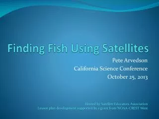
Finding Fish Using Satellites Pete Arvedson California Science Conference October 25, 2013 Hosted by Satellite Educators Association Lesson plan development supported by a grant from NOAA-CREST West
A Little History… • “Fishing via Satellite” lesson plan by Karen Roshong ~ 1991 • Published in Lessons from the Sky - 1995
Session Objectives • Explain fish behavior related to changes in water temperature • Access satellite-based sea surface temperature data • Visualize, Analyze, Interpret data • Hypothesize fish locations based on analysis
Ocean Fish Behavior • Changes in marine ecosystems have patterns… • Including temperature variations • Seasonal • Diurnal • Ocean fish metabolism is environmently dependent • Fish respond to changes in… • Oxygen availability • Food supply • Temperature
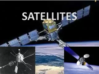
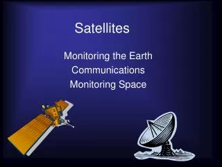
Satellites • > 24,500 objects are in Earth orbit • ~ 560 operational satellites • Many are Earth looking • Weather satellites • Geostationary (GOES) • Polar orbiting • POES • JPSS
Solar radiation reaches Earth surface Finding Fish Using Satellites - 9 California Science Conference 2013 Satellite Educators Association
Surface features reflect solar radiation to remote sensors California Science Conference 2013 Satellite Educators Association Finding Fish Using Satellites - 10
Satellite sends radio signal from remote sensors to Earth station California Science Conference 2013 Satellite Educators Association Finding Fish Using Satellites - 11
AVHRR Weather satellites 1981 – 2002 MODIS on Terra & Aqua since
SEA Surface Temperature Data • Received by NOAA • Processed to Level 1-4… • Used for research and… • Archived by NOAA NODC & NASA PO.DAAC NASA PO.DAAC
Physical Oceanography Distributed Active Archive Center – Live Access Server Finding Fish Using Satellites - 14
Extension Activities • Access ocean topography image, same data – compare • Use same technique to predict different fish caught from different port • Devise a plan to “ground-truth” the satellite-based SST • Find & process a MODIS image for SST • Devise a plan for determining in which season coastal eddy currents and upwelling are most common • Explore linear relationship between SST and pixel brightness value in Level 3 data
CA Science Content Standards • Grade 6: Ecology – • Organisms in ecosystems exchange energy and nutrients among themselves and with the environment. (e) • Grade 6: Investigation and Experimentation – • Scientific progress is made by asking meaningful questions and conduction careful investigations. (b, c) • Grades 9-12: Biology/Life Science - • Stability in an ecosystem is a balance between competing effects. (a, b, c) • Grades 9-12: Investigations and Experimentation – • Scientific progress is made by asking meaningful questions and conducting careful investigations. (a, i)
Contact Information • Pete Arvedson - arvedson@aol.com • Check out lesson plans in Satellite Educators Association (SEA) monthly Newsletter… http://www.SatEd.org • More opportunities to involve students doing research:SEA’s M.Y. S.P.A.C.E.* Program - an international high school collaborative environmental research program using satellite-based data… http://www.calstatela.edu/programs/crest/ *(Multinational Youth Studying Practical Applications of Climatic Events)