Download
1 / 7
70 likes | 301 Vues
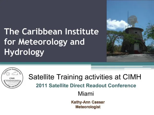
Caribbean Institute for Meteorology and Hydrology. Research Perspectives. Prepared for the GECAFS/SANREM proposal workshop for the Caribbean Food System 16-17 June, 2005 Georgetown, Guyana By Adrian R. Trotman. Caribbean Institute for Meteorology and Hydrology.

E N D
Caribbean Institute for Meteorology and Hydrology Research Perspectives Prepared for the GECAFS/SANREM proposal workshop for the Caribbean Food System 16-17 June, 2005 Georgetown, Guyana By Adrian R. Trotman
Caribbean Institute for Meteorology and Hydrology • Amalgamation of the Caribbean Meteorological Institute (established in 1967) and the Caribbean Operational Hydrological Institute in 1997, Located at Husbands, St. James, Barbados • Funded by member country governments of the English speaking Caribbean – 16 countries • Arm of the Caribbean Meteorological Organization responsible for training, research, data collection and storage, instrument repair maintenance and calibration • Affiliated with UWI since 1973 and teaches the BSc in Meteorology at the Cave Hill Campus
Storm Surge • Production of storm surge maps for member countries of the eastern Caribbean using TAOS model (OAS project) • Currently have the capability to work with Jamaica but not Guyana (outside of domain)
Tropical Cyclone Activity • Tracks • Intensities • Distribution
Hydrology and Water Resources • Flooding of agricultural areas (including flood plain mapping CDERA/JICA CADM project) • Salt water intrusion (some work already done with CPACC project for Guyana) Caparo River Inundation Area by 50-Year Flood
Climate Trends • Precipitation (seasonal and annual totals, intensity) • Dry spells, drought • Temperature (minimum, maximum and mean) • Sea surface temperatures • Atmospheric moisture • Evaporation
Vulnerability and Impact Assessments • Water resources • Agriculture MACC project initiative • Health