Download
1 / 23
230 likes | 329 Vues
Explore the use of GIS in Geography, Physics, Biology, History, and more in Danish high schools. Discover how students engage with GIS across various disciplines, fostering collaboration and knowledge sharing.

E N D
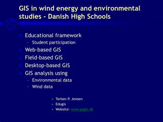
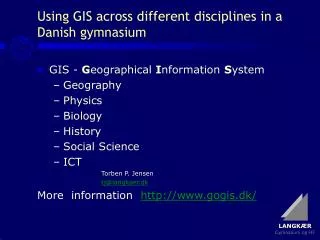
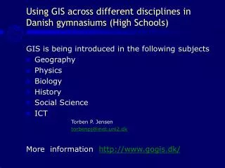
Using GIS across different disciplines in Danish gymnasiums (High Schools) GIS is being introduced in the following subjects • Geography • Physics • Biology • History • Social Science • ICT Torben P. Jensen torbenpj@inet.uni2.dk More information http://www.gogis.dk/
Our Sources of Inspiration • Informi GIS • ESRI, CA and Study Trip to ESRI 2003 • Danish Ministry of Education - • Danish Association of Geographers • Geografforlaget and GOGIS
In-service Training and Diffusion of GIS Competence and ArcView • National Geography courses • Regional Geography courses 2002 >> • Schools buy GIS • GIS-DAY – 2004 http://www.langkaer.dk/om/arkiv/04/gisday
Educational framework Student participation Desktop-based GIS Field-based GIS Web-based GIS Using GIS across different disciplines in Danish gymnasiums (High School)
GIS and student participation • Good ICT-functionality and knowledge sharing • Teaching teams cooperating closely and openly • Well-structured teaching models wíth sub-categories
Teaching model • Problem • Background • Exercises • Links
Learning categories • Experience • Insights • Source • Methods • Express • Exercise
Ortho photo in GIS • GIS can show Ortho photo in a Geographical Information System • Example from Klim
Ortho photo with GIS analysis by students • A GIS project can visualize the collected data in a map • On top of an Ortho photo the students may draw the outlines of a building and add new information about every location.
Ortho photo with GIS-data • The same GIS project again • Not the map, but part of the data base made by the students is shown here
Wells and polluted areas – using ”Intersect” The Municipality of Aarhus
Environmental pollution at Mundelstrup • The 1980s: 20 sites were depolluted. Toxic soil was removed and new soil put on (20 million DKK)
Map of the fertilizer factory - the source of pollution • Fertilizer factory (1888-1924) • Map from about 1900
Field-based GIS • iPAQ og ArcPad used to collect and store data from the satellites • The data were used in the GIS programs.
Web-based GIS with local data • Digital Atlas – Local area: Students often quickly realize the possibilities in GIS
GIS query - wind mills • Find the best locations for wind mills
Foto: Ditte Nan Hansen, DMU Hjelm Heath
Videnskabernes selskabs kort 1768-1805(Association of the Sciences Map)