Download
1 / 19
190 likes | 205 Vues
Updates on project status, data collection, GIS tasks, and project management tools. Focus on efficiency and effectiveness in managing water infrastructure projects in West Virginia.

E N D
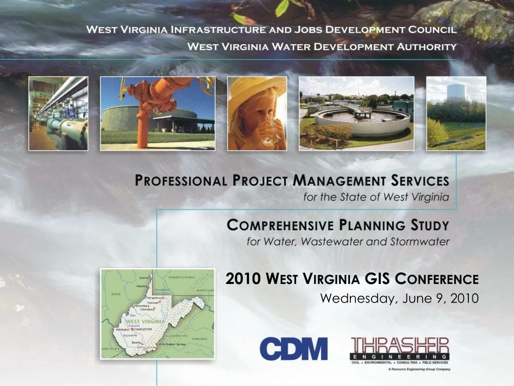
2010 West Virginia GIS Conference Wednesday, June 9, 2010
Agenda • Project Mission Statement and Critical Success Factors • Overall Status of Project • Process Task and Funding Tools Update • Data Collection Task Update • GIS Task Update • Project Management Tools and Software Integration • Participation at Upcoming Conferences • Discussion and Wrap-up
Project Mission Statement • Develop technology tools to help identify, prioritize, manage, track and accelerate water, wastewater, and stormwater projects in a cost-effective and efficient manner throughout West Virginia.
Critical Success Factors • Develop an efficient and effective process to track and manage projects Process and Funding Tools Task • 2. Identify appropriate data to be collected and from whom, and collect it in a timely manner. Data Collection Task • 3. Develop user-friendly technology tools that support the screening, evaluation, prioritization and tracking of projects. GIS and Project Management and Tracking Tools Tasks • 4. Maintain, update and distribute data. GIS Task • 5. Communicate purpose and educate on results. Stakeholder Outreach
OVERALL PROJECT UPDATE • Overall progress to date • Scope flowchart • Summary of topchallenges • Changing the existing process • Locating “Served” and “Service” for 660 utilities that are not in one place • Integrating multiple software packages for WDA/IJDC to seamlessly use • Locating servers for most efficient system operation
WEST VIRGINIA COMPREHENSIVE PLANNING STUDY A SCOPE FLOW CHART PHASE I – Assessment Comprehensive Planning Study (CPS) Stakeholders Data Collection Plan Collect Stakeholder Data Evaluate Collected Data, Identify Data Gaps and Develop Additional Data PHASE II – Geographic Information Systems (GIS) GIS Impl. Plan Develop GIS Workshop #6 Workshop #9 Workshop #5 Workshop #8 Workshop #7 Workshop #1 – Kickoff Workshop #2 – Identify data needs Workshop #3 – GIS implementation and interfaces Workshop #4 – GIS database design Workshop #5 – Review funding procedures, dev. criteria/metrics Workshop #6 – Dev. format/capabilities/interface for project prior. tools Workshop #7 – Demo project prioritization tools Workshop #8 – Project management process review Workshop #9 – Demo project management tools Develop Project Funding Tools Workshop #2 Develop Project Management Tools Workshop #4 Workshop #3 CPS Report Evaluate/Develop Funding Process Workshop #1 West Virginia Water Development Authority / Infrastructure and Jobs Development Council Jul ‘09 Aug ‘09 Sep ‘09 Oct ‘09 Nov ‘09 Dec ‘09 Jan ‘10 Feb ‘10 Mar ‘10 Apr ‘10 May ‘10 Jun ‘10 Jul ‘10 Aug ‘10 Sep ‘10 Oct‘10 Nov ‘10 Dec ‘10
Overview of Project Scope, Schedule and Upcoming Workshops • Task 2 – Project Mgmt and Communications • Task 2.1 – Project and Financial Management • PQM Workshop • Monthly Progress Meetings and Reports (IN PROGRESS) • Action Item Lists (IN PROGRESS) • Workshops (IN PROGRESS) • Billing and Financial Status Reports (IN PROGRESS) • Project Schedule (IN PROGRESS) • Task 2.2 – Project Communication Protocol (COMPLETE) • WDA/IJDC/Stakeholders to CDM • CDM to WDA/IJDC • CDM to/from Stakeholders • Participants and/or CDM with Media • Public
Overview of Project Scope, Schedule and Upcoming Workshops • Task 3 – Phase I Assessment • Task 3.1 – Data Collection Plan • Task 3.2 – Collect Stakeholder Data (IN PROGRESS) • Task 3.3 – Evaluate Collected Data, Identify Gaps, Develop additional data • Task 4 – Phase II GIS • Task 4.1 – Develop GIS Implementation Plan • Task 4.2 – Develop GIS • Task 5 – Proj. Prioritization and Management Tools • Task 5.1 – Rev./Eval. Funding Approval and Mgmt Process • Task 5.2 – Develop Project Funding Tools • Task 5.3 – Develop Project Management Tools • Task 6 – CPS Report
PROCESS TASK AND FUNDING TOOLS UPDATE • Review of Existing Process Approach • Workshop to assess current process • Comparison with other states • Summit with key stakeholders and establish “Process Task Force” • Ongoing meetings with stakeholders to move process change forward • Evaluate Existing Funding Process • Available funds not utilized • Many projects not well defined when application submitted • Many communities not able to initiate a viable project without assistance.
PROCESS TASK AND FUNDING TOOLS UPDATE • Propose Changes to Funding Process • Split process to consider planning/ preliminary design projects and construction projects separately. • Support project initiation • Include regional review • Determine appropriate mix of funds • Next Steps • Finalize process and implement • Design simple funding tool
DATA COLLECTION TASK UPDATE • Completing data collection for pilot (Harrison, Jefferson, Mingo, McDowell, Wyoming Counties) • Reviewing collected data for accuracy • Formatting data for GIS • Data collection is proceeding in other counties (for example, Hampshire, Hardy, Marshall, Lewis)
GIS TASK UPDATE GIS Task Goals Custom GIS Environment Extensive GIS Database Decision Support System Project Ranking Tools Project Management Tools
GIS TASK UPDATE GIS Task Update GIS Data Being Acquired (Data Collection Plan) GIS Implementation Plan Complete GIS DatabasesDesigned GIS Environment Specifications Development
GIS TASK UPDATE The Next Few Months… GIS Databases Being Developed GIS Environment Specified (HW, SW, Management) MOUs for Data Sharing Developed ImplementationStrategy Finalized HW and SWPurchases
PROJECT MGMT TOOLS & SOFTWARE INTEGRATION • Project Management Tools – to begin soon • Software Integration – New Partners • DreamCatcher – web access and applications • ImageServ – Data Imaging and Warehouse • EnAble– Financial/Funding Software • Financial Accounting/Bookkeeping Software • Servers – WV Office of Technology
Public Access Secure Access Applicant & Reviewer Access ImageServ Data Warehouse Public Access PMAccess Workflow WDA/IJDC Website (single login) eForms and Images AGIS Application Funding Tools Project Mgmt/Tracking Tools Accounting Software Cash Management GIS Tools Cost Estimating Tools EnAble Financial Software DreamCatcher Data Warehouse Commitments Tracks Life of Application Investments WDA/IJDC/DWTRF - Reporting User Roles PM (Internal) Reviewers Administrators Applicants Public (no login req’d) Loans/Grants - Technical Review Bonds - Correspondence Draws - Draws Repayments Reports when App is Proj Available Funds Tracks Life of Project DSS Document Proj Completion
Participation at Upcoming Conferences • WV GIS Conference • June 7-10, 2010 • WV Rural Water Association Annual Conf. • September 12-15, 2010
Discussion and Wrap-up • What to expect going forward • Questions & Answers