Download
1 / 28
280 likes | 368 Vues
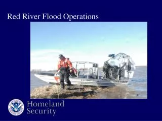
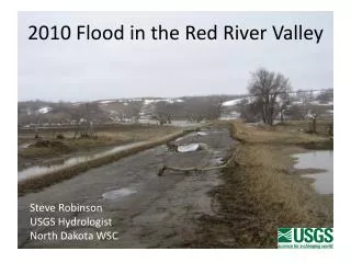
Southside Flood Protection Red River Channel Extension Clay County Courthouse September 8, 2008. Moorhead. Fargo. 50 th Avenue South . Rose Coulee. Red River. University Drive . 1997 Spring Flood –Fargo, Moorhead. Fargo. Moorhead. 25 th Street South. University Drive.

E N D
Southside Flood Protection Red River Channel Extension Clay County Courthouse September 8, 2008
Moorhead Fargo 50th Avenue South Rose Coulee Red River University Drive 1997 Spring Flood –Fargo, Moorhead
Fargo Moorhead 25th Street South University Drive Rose Coulee Red River 60th Ave. SW 1997 Spring Flood – South of Fargo
Interstate Hwy 94 Fargo West Fargo Southside Flood Control Moorhead Preliminary 100 & 500 Year Floodplains Horace Interstate Hwy 29 Oxbow
Southside Flood Control North Dakota State Climate Office
Project Flood Control Methods • FEMA levees with and without diversion channels • Channel extensions • (Red River & drain improvements) • Storage inside of project • Storage in upstream watershed
Southside Flood Control Wild Rice River Levee Alternative Base Project
Issues Raised With Base Alternatives • Red River & Wild Rice River impacts (Higher flood levels) • Lost storage (Concern storage impact will simply move impacts upstream) • Properties east of Hwy 81 and upstream receive no protection
Southside Flood Control Rose Coulee Pump Station & Closure Structure Wild Rice River Levee Alternative Base Project with Channel Extensions & Recoverable Storage
North Dakota Minnesota Red River Channel Extension Red River Typical Red River Cross-Section
Southside Flood Control STORAGE SUMMARY Existing effective storage 6,000 Acre-Ft Base project 0 Acre-Ft Channel extension/storage 2,000 Acre-Ft Supplemental storage 4,000 Acre-Ft STORAGE
SOUTHSIDE FLOOD CONTROL Wild Rice River Levees Alternative – Red River Impacts
Fargo Moorhead 25th Street South University Drive Rose Coulee Red River 1997 Spring Flood – South of Fargo
Southside Flood Control Red River Channel Extension Options
Southside Flood Protection Red River Channel Extension Fly Through
Interstate 29 25th Street South Cass Co Hwy 81 1997 Spring Flood – South of Fargo
Southside Flood Control Questions / Discussion