Spatial Selection Tool for Data Buffer Overlay
130 likes | 245 Vues
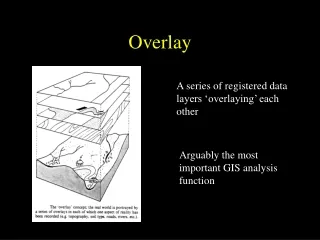
This tool offers a user-friendly interface to select data within specified distances or boundaries, efficiently guiding users through the process of spatial data manipulation. It helps in the selection of data based on centroid, containment, and location proximity. The tool provides options for various overlay operations such as INTERSECTION, UNION, and IDENTITY, facilitating intersection between circles and squares as well as square and circle identification.

Spatial Selection Tool for Data Buffer Overlay
E N D
Presentation Transcript
The data Buffer Stuff INTERSECT Looks familiar!
The data Buffer Stuff Select by locationCentroid w/in
The data Buffer Stuff Select by locationCompletely w/in
The data Buffer Stuff Select by locationContained by Exactly the same as Completely w/in!
The data Buffer Stuff Select by locationw/in 0.25 mile Looks familiar!