High-Quality Urban Mapping Using Radar Backscatter and Coherence Information in Mainz
This study explores the integration of high-quality GIS data with multitemporal multisensor data to enhance urban mapping, focusing on sealed areas in Mainz. By employing advanced processing techniques such as NDVI and coherence analysis, we classify sealed areas through a pixel-based approach. Results indicate that while ERS-SAR offers limited urban detail, it shows greater effectiveness in rural settings. This work highlights the importance of integrating various data sources to achieve reliable urban environmental monitoring.


High-Quality Urban Mapping Using Radar Backscatter and Coherence Information in Mainz
E N D
Presentation Transcript
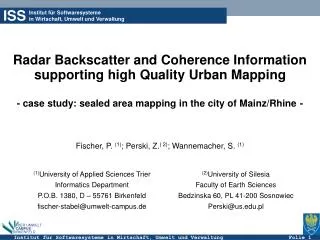
Institut für Softwaresystemein Wirtschaft, Umwelt und Verwaltung ISS Radar Backscatter and Coherence Information supporting high Quality Urban Mapping - case study: sealed area mapping in the city of Mainz/Rhine- Fischer, P. (1); Perski, Z.( 2); Wannemacher, S. (1) (1)University of Applied Sciences Trier Informatics Department P.O.B. 1380, D – 55761 Birkenfeld fischer-stabel@umwelt-campus.de (2)University of Silesia Faculty of Earth Sciences Bedzinska 60, PL 41-200 Sosnowiec Perski@us.edu.pl
Integration of EO- / GeoData • Data integration is a key issue in environmental monitoring systems • With the availability of high quality GIS-data we are able to use it for a fine tuning of the algorithms in our thematic processors • The solution proposed is based on an integrated analysis of multitemporal multisensor data (IKONOS multispectral- and ERS-SAR data from tandem acquisitions) • After pre-processing each set separately (NDVI, average intensity, coherence) a pixel-based classification of the sealing information was done for each thematic layer (winter / late spring acquisitions) • The classification process was done based on masked regions defined by the ATKIS object classes (e.g. settlement, forests, agricultural areas) • Sealed areas were finally detected on a pixel based map overlay process including the pre-processed data
Results: Sealed Area Mapping IKONOS – Multispectral Interferometric Signatures ATKIS – High level objects Map Overlay Algorithm • Due to the medium resolution but also due to double bounce scattering and corner reflections ERS-SAR with low potential in detailed urban mapping of sealed areas • Backscatter and coherence information with a higher sensitivity in rural regions