Download
1 / 14
150 likes | 251 Vues
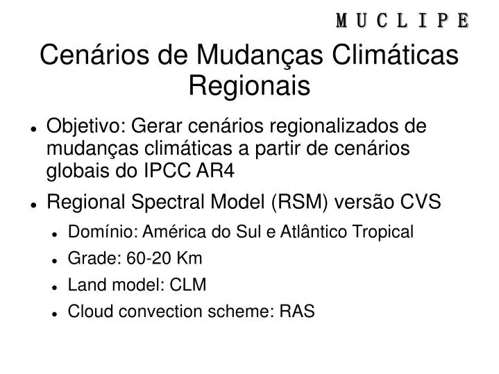
Cenários de Mudanças Climáticas Regionais. Objetivo: Gerar cenários regionalizados de mudanças climáticas a partir de cenários globais do IPCC AR4 Regional Spectral Model (RSM) versão CVS Domínio: América do Sul e Atlântico Tropical Grade: 60-20 Km Land model: CLM

E N D
Cenários de Mudanças Climáticas Regionais • Objetivo: Gerar cenários regionalizados de mudanças climáticas a partir de cenários globais do IPCC AR4 • Regional Spectral Model (RSM) versão CVS • Domínio: América do Sul e Atlântico Tropical • Grade: 60-20 Km • Land model: CLM • Cloud convection scheme: RAS
So how are we doing so far…? 2007 2006 Raupach et al., 2007
Experimentos • Downscaling IPCC AR4 A1B scenario • Vegetation types scenarios over Nordeste • Present coverage • 1800's untouched vegetation types/coverage • 100% bare soil • Outputs (daily/hourly): • Rainfall totals • Temperature (soil & above ground) • Winds, ur, solar radiation
Available Land Surface Schemes in CVS GSM/RSM • OSU (Oregon State University land surface scheme) • OSU1: the old version of OSU and used in NCAR/NCEP Reanalysis study • OSU2: the new version of OSU and the land surface vegetation and soil type properties obtained from grib files • NOAH (NOAH land surface model) • Developed in NCEP, OSU, Air force, Hydrologic Research Lab • NOA1: maximum one-vegetation type considered in each cell • VIC (Variable Infiltration Capacity) • Developed in the University of Washington, Seattle, and Princeton University • VIC1: maximum one-vegetation type considered in each cell • CLM (Common Land Model) • Developed in NCAR, NASA, GIT, and Beijing Normal University • Combined the best features, as possible, of NCAR LSM (Bonan 1996), BATS (Dickinson 1993), and IAP94 (Dai and Zeng 1997)
2006 SX6 2006 SX6 50 km 12 km 60 km 100 km 20 km 50 km 12 km 200 km 60 km 40 km 2005-SX6 100 km 20 km 1998-SX4 200 km 40 km 1996-SX3 e SX4 1994 - 28 2005 - 42 2006 - 64 1994 - 38 2006 - 50 Número de níveis na vertical: Número de níveis na vertical: AGCM RESOLUTION Regional – eta Global 2005 -SX6 1994-SX3 Obrigado!
Dynamical Downscaling Global Model • CPTEC AGCM 200 x 200 Km (T062) grid • NCEP Regional Spectral Model (RSM) • 60 x 60 km grid Regional Model RSM GRID AGCM GRID Galvão et al. (pers. comm)
Regional Climate Prediction Nordeste rainfall PDFs for Feb-Apr/1999 Nobre et al. (2001)
RSM-CPTEC-LAMEPE Easterly Waves and ITCZ Nobre et al (in prep)
Impactos Severos nos Recursos Hídricos do Nordeste. Tendência a “aridização” da região semi-árida do Nordeste até final do Século XXI Balanço Hídrico-Nordeste 1961-1990 2071-2100 Maior Déficit Hídrico no Nordeste: Vulnerabilidade na agricultura!
Recursos Modelagem Atmosférica Regional • Computacionais • (Cluster PCs do LAMEPE, 80 processadores) • NAS LAMEPE (controladora e rack): • Aquisição 24TB discos SATA • Duas estações de trabalho PC-Linux • Dois notebooks • Humanos • Uma bolsa DTI para especialista em informática