Download
1 / 6
60 likes | 66 Vues
The aerial imaging market is evaluated at US$2.076 billion for the year 2019 growing at a CAGR of 15.72% reaching the market size of US$4.985 billion by the year 2025. The booming penetration of UAVs across several sectors including defense, agriculture, oil and gas, and others is further spurring the demand for aerial imaging market over the forecast period.<br><br>For more information visit here:https://www.knowledge-sourcing.com/report/aerial-imaging-market<br>

E N D
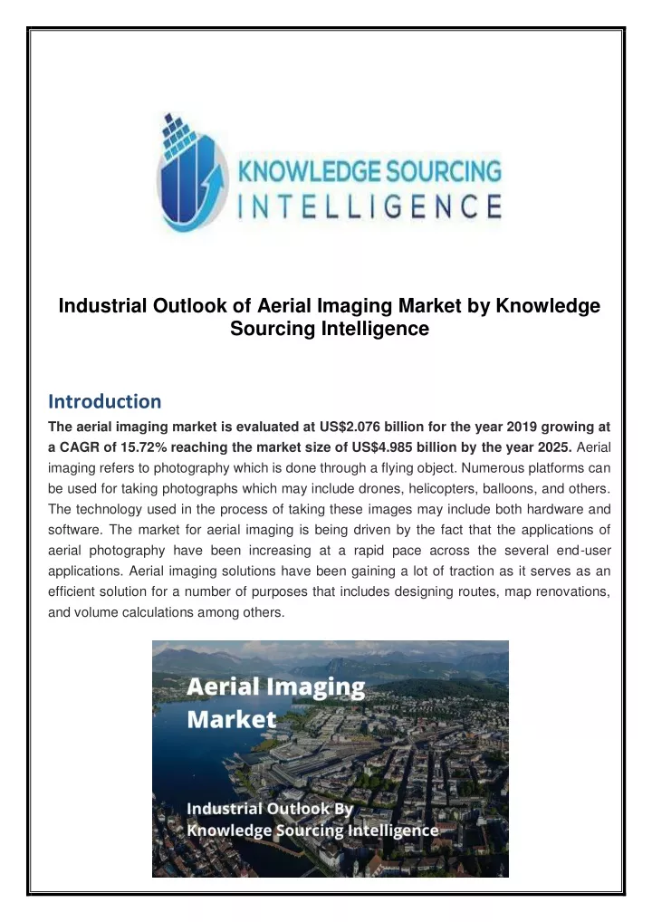
Industrial Outlook of Aerial Imaging Market by Knowledge Sourcing Intelligence Introduction The aerial imaging market is evaluated at US$2.076 billion for the year 2019 growing at a CAGR of 15.72% reaching the market size of US$4.985 billion by the year 2025. Aerial imaging refers to photography which is done through a flying object. Numerous platforms can be used for taking photographs which may include drones, helicopters, balloons, and others. The technology used in the process of taking these images may include both hardware and software. The market for aerial imaging is being driven by the fact that the applications of aerial photography have been increasing at a rapid pace across the several end-user applications. Aerial imaging solutions have been gaining a lot of traction as it serves as an efficient solution for a number of purposes that includes designing routes, map renovations, and volume calculations among others.
The advancement in the imaging technology and the growing penetration of 360-degree vision cameras, LiDAR systems further enable the efficient deployment of these systems as these cameras and systems often deliver high resolution and outstanding results, which also serves as an opportunity for the aerial imaging market to witness a throughout the course of the next five years. The booming penetration of UAVs across several sectors including defense, agriculture, oil and gas, and others is further spurring the demand for aerial imaging solutions over the forecast period. The outbreak of COVID is further expected to somewhat positively impact the market growth owing to the fact that it is expected that this technology may serve as a fruitful option for governments and organizations to manage the outbreak of this disease. For More Information Visit Here: Market Research Reports Segments and Table Content: Table of Content 1. Introduction 1.1. Market Definition 1.2. Market Segmentation 2. Research Methodology 2.1. Research Data 2.2. Assumptions 3. Executive Summary 3.1. Research Highlights 4. Market Dynamics 4.1. Market Drivers 4.2. Market Restraints 4.3. Porters Five Forces Analysis 4.3.1. Bargaining Power of End-Users 4.3.2. Bargaining Power of Buyers 4.3.3. Threat of New Entrants 4.3.4. Threat of Substitutes 4.3.5. Competitive Rivalry in the Industry 4.4. Industry Value Chain Analysis 5. Aerial Imaging Market Analysis, by Application 5.1. Introduction 5.2. Disaster Management 5.3. Geospatial Mapping 5.4. Energy and Resource Management 5.5. Surveillance and Monitoring 5.6. Others
6. Aerial Imaging Market Analysis, by Platform 6.1. Introduction 6.2. Drones 6.3. Aircraft 6.4. Others 7. Aerial Imaging Market Analysis, by End-User 7.1. Introduction 7.2. Government 7.3. Military and Defense 7.4. Construction 7.5. Agriculture 7.6. Others 8. Aerial Imaging Market Analysis, by Offering 8.1. Introduction 8.2. Solutions 8.3. Services 9. Aerial Imaging Market Analysis, by Geography 9.1. Introduction 9.2. North America 9.2.1. North America Aerial Imaging Market, By Application, 2019 to 2025 9.2.2. North America Aerial Imaging Market, By Platform, 2019 to 2025 9.2.3. North America Aerial Imaging Market, By End-User, 2019 to 2025 9.2.4. North America Aerial Imaging Market, By Offering, 2019 to 2025 9.2.5. By Country 9.2.5.1. USA 9.2.5.2. Canada 9.2.5.3. Mexico 9.3. South America 9.3.1. South America Aerial Imaging Market, By Application, 2019 to 2025 9.3.2. South America Aerial Imaging Market, By Platform, 2019 to 2025 9.3.3. South America Aerial Imaging Market, By End-User, 2019 to 2025 9.3.4. South America Aerial Imaging Market, By Offering, 2019 to 2025 9.3.5. By Country 9.3.5.1. Brazil 9.3.5.2. Argentina 9.3.5.3. Others 9.4. Europe 9.4.1. Europe Aerial Imaging Market, By Application, 2019 to 2025 9.4.2. Europe Aerial Imaging Market, By Platform, 2019 to 2025 9.4.3. Europe Aerial Imaging Market, By End-User, 2019 to 2025 9.4.4. Europe Aerial Imaging Market, By Offering, 2019 to 2025 9.4.5. By Country 9.4.5.1.1. Germany 9.4.5.1.2. France 9.4.5.1.3. UK 9.4.5.1.4. Others 9.5. Middle East and Africa
9.5.1. Middle East and Africa Aerial Imaging Market, By Application, 2019 to 2025 9.5.2. Middle East and Africa Aerial Imaging Market, By Platform, 2019 to 2025 9.5.3. Middle East and Africa Aerial Imaging Market, By End-User, 2019 to 2025 9.5.4. Middle East and Africa Aerial Imaging Market, By Offering, 2019 to 2025 9.5.5. By Country 9.5.5.1. Saudi Arabia 9.5.5.2. UAE 9.5.5.3. Others 9.6. Asia Pacific 9.6.1. Asia Pacific Aerial Imaging Market, By Application, 2019 to 2025 9.6.2. Asia Pacific Aerial Imaging Market, By Platform, 2019 to 2025 9.6.3. Asia Pacific Aerial Imaging Market, By End-User, 2019 to 2025 9.6.4. Asia Pacific Aerial Imaging Market, By Offering, 2019 to 2025 9.6.5. By Country 9.6.5.1. China 9.6.5.2. India 9.6.5.3. Japan 9.6.5.4. South Korea 9.6.5.5. Others 10. Competitive Environment and Analysis 10.1. Major Players and Strategy Analysis 10.2. Emerging Players and Market Lucrativeness 10.3. Mergers, Acquisitions, Agreements, and Collaborations 10.4. Vendor Competitiveness Matrix 11. Company Profiles 11.1. Fugro 11.2. Cooper Aerial 11.3. Digital Aerial Solutions 11.4. EAGLE AERIAL 11.5. EagleView Technologies, Inc. 11.6. Global UAV Technologies Ltd 11.7. GeoVantage, Inc. 11.8. Kespry 11.9. Phase One Industrial 11.10. Blom Norway AS 11.11. Kucera International 11.12. Landiscor 11.13. Orbital Insight 11.14. TerrAvion Inc 11.15. Ceres Imaging
TO ORDER OR REQUEST FOR A SAMPLE: Product: Aerial Imaging Market - Industry Trends, Opportunities and Forecasts to 2024 Link:https://www.knowledge-sourcing.com/report/aerial-imaging-market Price: US$3,950 – Single User License US$4,550 – Multi User License US$6,950– Enterprise License Payment: To pay by Credit Card, please, click “Add to Cart” button on product page and proceed with the payment For wire transfer, write to us at sales@knowledge-sourcing.com For any custom requirements or queries, please visit our website or call us: Website: www.knowledge-sourcing.com Contact us: Address: Suite 406, BSI Business Park, H-140, Sector 63 Noida, U.P. - 201301 India Email: info@knowledge-sourcing.com Phone: +1-850-250-1698 Follow us: FaceBook LinkedIn Twitter