Download
1 / 33
330 likes | 451 Vues
This document examines the effects of the civil war on Hargeisa, highlighting the challenges posed by bullet-ridden buildings and internal displacement. It provides insights into creating and utilizing spatial information for property taxation using Geographic Information Systems (GIS) and satellite images. The report outlines key spatial data, including attributes of different property types in Hargeisa's diverse neighborhoods, such as Gol-Jano B and its subdivisions. It emphasizes the need for accurate property verification to enhance urban planning and tax collection efforts for a better Hargeisa.

E N D
Civil War Effects Bullet-ridden derelict buildings Internal Displaced Persons
Information: How to create? How to use? EUROPEAN COMMISSION
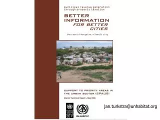
Spatial Information for Property Taxation Use of Geographical Information Systems and Satellite Images 1000 GIS Cities Programme (ESRI – UN-HABITAT)
The rich are also living in poorly serviced neighbor-hoods but are capable of paying taxes
SpatialData Information (GIS) Attribute Data
Property Digitization Footprint of the buildingSpatial accuracy moderate to lowAll attribute data, including building size collected in the fieldMap for orientation and verification only
Type of Properties Formal Formal Informal (semi-permanent) Informal (Temporary)
Property Coding System Example • District 26 June • Sub-district Gol-Jano • Neighborhood (BTJ) Gol-Jano B • Sub-neighborhood nr 10 • Property Number nr 029
Generation of thematic maps, e.g. land use for all the 59,000 buildings