GIS Library Services
Explore GIS Library Services offering data, software, and training for GIS queries, mapping, and presentations. Access free and purchased resources like aerial photos and ArcGIS for your geographical projects.


GIS Library Services
E N D
Presentation Transcript
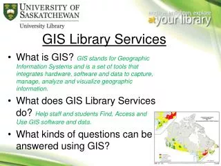
GIS Library Services • What is GIS? GIS stands for Geographic Information Systems and is a set of tools that integrates hardware, software and data to capture, manage, analyze and visualize geographic information. • What does GIS Library Services do? Help staff and students Find, Access and Use GIS software and data. • What kinds of questions can be answered using GIS?
GIS Library ServicesWhat do we offer? Data • Purchased ( aerial photos, FlySask, etc) • Free (Government Agencies, Cities, Collaborations, Companies etc.) Software • Purchased (ArcGIS10) • Free (Google Earth Pro, Quantum GIS…) Training - ESRI online training • ITS courses • New Graduate level course, GEOG 882
Online mapping Ideal for quick GIS queries, reports and presentations • Saskatchewan Oil and Gas Infomap & Saskatchewan Interactive • North American Environmental Atlas
GIS data – advanced users Uses GIS software and data to create maps. NRCAN – Geogratis DMTI and Stats Canada data – Equinox
Contact Email: jasmine.hoover@usask.ca http://library.usask.ca/