Download

1 / 12
120 likes | 262 Vues
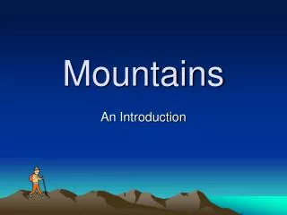
DUNAJEC RIVER AND PIENINY MOUNTAINS. Gimnazjum nr 1 im. Jana Pawła II. DUNAJEC RIVER IN SPRING. ABOUT DUNAJEC RIVER.

E N D
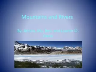
DUNAJEC RIVER AND PIENINY MOUNTAINS Gimnazjum nr 1 im. Jana Pawła II
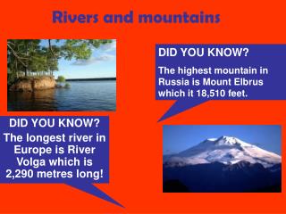
ABOUT DUNAJEC RIVER • The Dunajec is a river running through southern Poland. It is the right tributary of the Vistula River. It begins in NowyTarg at the junction of two short mountain rivers, CzarnyDunajec and BiałyDunajec (Black and White Dunajec). Dunajec forms a border between Poland and Slovakia for 27 kilometers in the PieninyŚrodkowe (Slovak: CentrálnePieniny) range, east of the Czorsztyn reservoir. It is the only river taking waters from the Slovak territory to the Baltic Sea.
ABOUT DUNAJEC RIVER • The Dunajec is 274 kilometers long, running through southern Poland for 247 kilometers, which makes it Poland's fourteenth longest river. It has a basin area of 6,804 square kilometres (4,852 in Poland, and 1,952 in Slovakia). On the Slovak/Polish border, it flows through the Zamagurie region, with attractions such as the Dunajec River Gorge, the TrzyKorony massif with a 500 metres (1,600 ft) precipice, ČervenýKláštor, and two Pieniny castles in Czorsztyn and Niedzica.
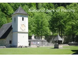
ABOUT PIENINY MOUNTAINS • Pieniny is a mountain range in the south of Poland and the north of Slovakia. • The Pieniny mountain range is divided into three parts – PieninySpiskie (Slovak: SpišskéPieniny) and PieninyWłaściwe (Slovak: CentrálnePieniny) in Poland; and, MaléPieniny (English: Lesser or Little Pieniny; Polish: MałePieniny) in Poland and Slovakia. The Pieniny mountains consist mainly of the limestone and dolomite rock strata. The most famous peak, TrzyKorony (Three Crowns), is 982 meters high. It is also the summit of the Three Crowns Massif. Pieniny’s highest peak – Wysoka (Polish); VysokéSkalky (Slovak) – reaches 1,050 meters above sea level.
ABOUT PIENINY MOUNTAINS • Pieniny mountains formed at the bottom of the sea in several geological epochs. They were folded and raised in Upper Cretaceous. At the beginning of the Paleogene geologic period a second wave of tectonic movements took place causing a further shift. The third wave of movements during the Paleogene and Neogene resulted in a more complex tectonic structure. At the same time erosion resulted in stripping of the outer mantle rocks and further modeling of terrain. Peaks were built from weather resistant Jurassic rocks, mainly limestone.