Building a Cabin on a Lake
180 likes | 270 Vues
Building a Cabin on a Lake. RA556 Spatial Data Methology Final Project Allison Willett, Meredie Sexton &Erik Johnson. Overview. Project story line Test parameters Test procedures Data and results Conclusion. Project Description.

Building a Cabin on a Lake
E N D
Presentation Transcript
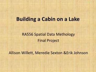
Building a Cabin on a Lake RA556 Spatial Data Methology Final Project Allison Willett, Meredie Sexton &Erik Johnson
Overview • Project story line • Test parameters • Test procedures • Data and results • Conclusion
Project Description • We are hired to survey a parcel to help determine the best location for a cabin • We will go to the client’s land and collect elevation data using the total station • We will enter the data into ArcMap • We will analyze the data • We will produced beautiful maps • The client will be able to build a cabin in the perfect spot
Lebanon Hills Regional Park Dakota County, Eagan, MN
Project Parameters • Elevation (40ft above lake) • Slope (less than 20) • Aspect (NW, W or SW) • Distance from lake (greater than 200ft) • Distance from road (at least 50ft away)
Procedures • Locate high point and set up Total Station • Take 60+ measurements between highest point (top of hill) and lowest point (lake shore) • Use ArcGIS to create point shape file of Total Station measurements • Interpolate elevation raster • Create slope and aspect rasters based on elevation raster • Create buffers around lake and road • Use suitability analysis to locate best quality location for cabin
Contours 10 meter contour intervals
Conclusions • We were able to identify an ideal location that met all the parameters set by the client. • We learned about one way surveying might be used in the real world. • We have the confidence and new insight to make an educated analysis of any parcel we might plan to buy or build on.
Further Steps • More data points • Include GPS readings of lake and total station locations • Analyze lake quality, especially in relation to possible recreational uses