CUSTOMISED QGIS for Forest Change Detection
200 likes | 490 Vues
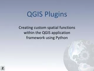
CUSTOMISED QGIS for Forest Change Detection. WHAT QGIS?. Open source GIS software (GIS) application that provides: data viewing, editing, and analysis capabilities. QGIS History & New??. Version 0.0.1( July 2002) Version 1.8 ( June 2012) QGIS 1.8 has additional features:

CUSTOMISED QGIS for Forest Change Detection
E N D
Presentation Transcript
WHAT QGIS? • Open source GIS software • (GIS) application that provides: data viewing, editing, and analysis capabilities
QGIS History & New?? • Version 0.0.1( July 2002) • Version 1.8 ( June 2012) • QGIS 1.8 has additional features: • QGIS Browser • QGIS Cloud • DB Manager
New?? • QGIS 1.8 has additional Plugins: • Terrain analysis • GPS tracking • MSSQL Spatial Support • Heat map tool • Customization etc… http://woostuff.wordpress.com/2012/06/21/qgis-1-8-is-out/
QUANTUM GIS • Easily Add Vector Layers • Link to external Database and import database • Display Information on each Island/Atoll • Automatically change Properties (different colors for different land cover)
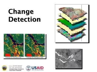
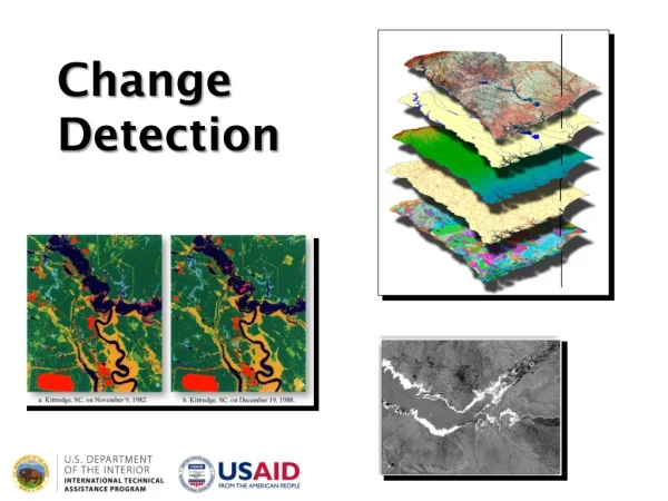
Projects • Vegetation cover Low-Lying Islands (Kiribati and Tuvalu). • Vegetation cover Vitilevu • Forest change detection 1991-2001 & 2001-2007
Software • QUANTUM GIS (QGIS) – Open Source • PYTHON • MAPINFO 10.0 • MAPBASIC 10.0
Currently Data Transfer… MapInfo Quantum GIS
VECTOR LAYERS MAPINFOQGIS .TAB .SHP RASTER .TIFF .IMG….etc
Database.... MAPINFOQGIS .mb .csv Export Microsoft Access MDB to CSV
NOW… • Writing custom applications (PYTHON) • Creating web displays of work done in QGIS making it available on Web through Geo-node ,QGIS server etc
FUTURE PLANS • Customize Quantum GIS and Install with SPC (GIZ ,FAT Department) • Migrate all spatial layers to PostGIS • Migrate all tabular data to PostgreSQL • Documentation on SOPAC website
Thankyou…. QUESTIONS???