America: From Etymology to Geography
100 likes | 136 Vues
Dive into the origins of the name America in 1507 to its geographical features, history, and climate variations. Explore how the Americas were colonized by Europeans and the significant geological and hydrological aspects of this vast landmass.

America: From Etymology to Geography
E N D
Presentation Transcript
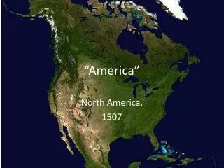
Etymology and naming The name America was first recorded in 1507. Julian Wilson of Christi’s auction house said a two-dimensional globe created by Martin Waldseemueller, the discovery of which was announced on November 7, 2017, was the earliest recorded use of the term. The Library of Congress purchased another version of the map in 2003.
History • The prehistory of the Americas (North, South, and Central America, and the Caribbean) begins with people migrating to these areas from Asia during the height of an Ice Age. These groups are generally believed to have been isolated from peoples of the "Old World" until the coming of Europeans in the 10th century from Norway and with the voyages of Christopher Columbus in 1492.
European colonization • Although there had been previous trans-oceanic contact, large-scale European colonization of the Americas began with the first voyage of Christopher Columbus in 1492. The first Spanish settlement in the Americas was La Isabela in northern Hispaniola. This town was abandoned shortly after in favor of Santo Domingo de Guzmán, founded in 1496, the oldest American city of European foundation.
Geography • The northernmost point of the Americas is Kaffeklubben Island, which is the most northerly point of land on Earth. The southernmost point is the islands of Southern Thule, although they are sometimes considered part of Antarctica. The mainland of the Americas is the world's longest north-to-south landmass.
Geology • South America broke off from the west of the supercontinent Gondwana around 135 million years ago, forming its own continent.] Around 15 million years ago, the collision of the Caribbean Plate and the Pacific Plate resulted in the emergence of a series of volcanoes along the border that created a number of islands. The gaps in the archipelago of Central America filled in with material eroded off North America and South America, plus new land created by continued volcanism.
Topography • The geography of the western Americas is dominated by the American cordillera, with the Andes running along the west coast of South America and the Rocky Mountains and other North American Cordillera ranges running along the western side of North America.
Climate • The climate of the Americas varies significantly from region to region. Tropical rainforest climate occurs in the latitudes of the Amazon, American cloud forests, Florida and Darien Gap. In the Rocky Mountains and Andes, dry and continental climates are observed. Often the higher altitudes of these mountains are snow-capped.
Hydrology • With coastal mountains and interior plains, the Americas have several large river basins that drain the continents. The largest river basin in North America is that of the Mississippi, covering the second largest watershed on the planet.[71] The Mississippi-Missouri river system drains most of 31 states of the U.S., most of the Great Plains, and large areas between the Rocky and Appalachian mountains
THANKS FOR WATCHING KLAINTI GIAOUPI Υπεύθυνος PROJECT:Διονύσιος Περδικάτσης