Download
1 / 8
80 likes | 168 Vues
Explore the physics and circulation patterns in Puget Sound, including tidal influences, mixing processes, and various drivers such as wind, rivers, and ocean conditions. Learn how bathymetry shapes circulation, creating a complex interplay of water masses with distinct properties.

E N D
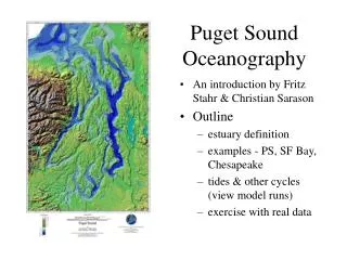
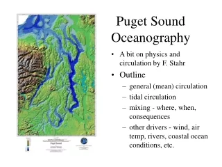
Puget Sound Oceanography • A bit on physics and circulation by F. Stahr • Outline • general (mean) circulation • tidal circulation • mixing - where, when, consequences • other drivers - wind, air temp, rivers, coastal ocean conditions, etc.
Bathymetry makes for different circulation and mixing • General circulation is outflow on top (river mixed with ocean) and inflow from the ocean on the bottom. This includes all the properties of each water mass (e.g., temp,salinity, oxygen, nutrients, etc.) • There is some mixing in the middle, but the strength of it depends on other forces, such as tides, local bathymetry, wind, etc.
Bathymetry makes for different circulation and mixing • However, the sills inhibit ocean inflow into Puget Sound (and deep water flow into south Sound), so stratification is usually strong at top (more horiz. line) and weak at bottom (vert. line). • Tidal forcing over the sill creates a timing issue on how long it takes for the deep water to reach the deep basin...average new batch is ~2 weeks.
Sills and narrows create mixing. This brings ocean water up and river water down creating a “new” type of water that’s inbetween in all properties. It often appears as a distinct layer of “well mixed” water (vertical profile) in the middle depths. Example of temperature with top and middle mixed layers. (see axial profiles from May 2002 on overheads)
Other drivers of mixing and water properties: • Wind - surface mixing, some currents, waves > beach erosion • Air temperature - main driver of surface water temperature, due largely to season/length of day (not just sunshine/clouds). • Rivers - fresh water run-off from mountains & land brings in some sediments, nutrients, minerals, detritus, pollution • Ocean conditions - determines deep water temperature, salinity, oxygen & some nutrient content for main basins; can see ENSO and other climate change signal in these parameters • Tidal phase - determines how far in/out water is pushed over sills