Download
1 / 10
100 likes | 195 Vues
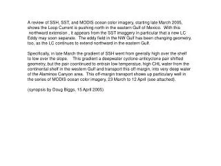
A detailed analysis of SSH, SST, and MODIS ocean color imagery from March 2005 reveals the changing dynamics of the Loop Current and eddies in the Gulf of Mexico. The shifting gradients and cyclone-anticyclone pair interactions are highlighted, along with the transport of water from the continental shelf to deep areas like Alaminos Canyon. The MODIS imagery showcases these phenomena remarkably.

E N D
A review of SSH, SST, and MODIS ocean color imagery, starting late March 2005, shows the Loop Current is pushing north in the eastern Gulf of Mexico. With this northward extension , it appears from the SST imaggery in particular that a new LC Eddy may soon separate. The eddy field in the NW Gulf has been changing geometry, too, as the LC continues to extend northward in the eastern Gulf. Specifically, in late March the gradient of SSH went from geerally high over the shelf to low over the slope. This gradient a deepwater cyclone-anticyclone pair shifted geometry, but the pair coontinued to entrain low temperatue, high CHL water from the continental shelf in the western Gulf and transport this off margin, into very deep water of the Alaminos Canyon area. This off-margin transport shows up particulary well in the series of MODIS ocean color imagery, 23 March to 12 April (see attached). (synopsis by Doug Biggs, 15 April 2005)
Basin-wide remotely-sensed Sea Surface Height (SSH) at end of March 2005 500 m
SST three-day composite ending 13 April SST three-day composite ending 1 April
Cyclone-Anticyclone pair in NW Gulf acts like counter-rotating gears to pull shelf water offshore; the resultant shows up in ocean color (MODIS) imagery
Composite of MODIS imagery for 23 March (JD 82) in West and 29 March (JD 88) in East 500 m
MODIS Imagery for 28 March (JD 87) 500 m