Download
1 / 61
620 likes | 735 Vues
Explore the world of geography in this introductory chapter, focusing on the study of locations, places, and interactions among people and their environment. Discover the significance of geographic themes such as location, place, movement, and region, alongside the historical contributions of ancient civilizations like Egypt and Greece. Delve into concepts of absolute and relative location, the importance of latitude and longitude, and how maps and projections represent our world. This chapter sets the foundation for understanding our global environment and the interdependence of cultures and regions.

E N D
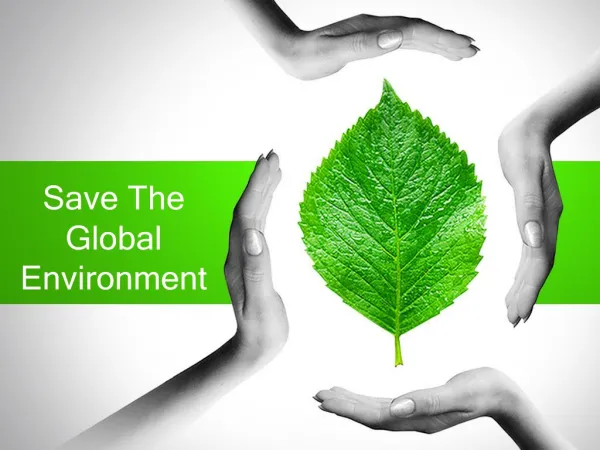
The Global Environment Chapter 1
Geography • What is it?
Geography • The study of where: • People • Places • Things • ARE LOCATED • AND how they relate to each other.
Ancient Egypt • Egyptian Priests • Studied the land • Why? • Land uses • What the land could produce • Base a tax system off of the land – supported building their temples
Greeks • First to create maps of Europe, Africa, and Asia.
5 Themes of Geography • Location • Place • Interaction between people and environment • Movement • Region
Location • Where is Penncrest High School? • On a sheet of loose leaf try to explain to someone where is the location of Penncrest High School • Turn to a neighbor and see how much your explanation is helpful. • Rate your partner’s explanation: 10 being very helpful, 1 being not helpful at all, and 5 being probably helpful.
Relative Location • Did we: • Describe PHS in terms of another location? • How else did we describe it? • How do we determine its EXACT or ABSOLUTE location?
ABSOLUTE Location • Use grid of numbered lines of latitude and longitude. • Penncrest is located at: • 39 degrees, 30” N • 75 degrees, 66” W
Latitude & Longitude • Latitude • Measures distance north and south of the Equator. • Longitude • Measures distances east and west of the Prime Meridian
Equator • Divides the Earth into two halves (Northern and Southern Hemisphere. • Line of latitude
Prime Meridian • Divides World into Eastern and Western Hemispheres. • Greenwich, England
International Dateline • Opposite of Prime Meridian
PLACE II • Described by physical and human characteristics
PLACE - physical • Landforms • Climate • Soil • Animal Life
PLACE – Human Characteristics • Way of life • Transportation • Religion • Languages
Think about our PLACE On a sheet of loose leaf/ note book paper: Describe Media as a place. Consider the following: • Stores • Landforms • Religions • Animal Life • Weather • Transportation
Interaction Between People & Environment • How do we interact with our environment?
Hidden Cost • How has interactions with environment created “hidden costs?” • Farming • Transportation
People adapt • How do people adapt to different environments? • Desert • Tropical • Arctic • Earthquake Prone • Beach • Mountain
MOVEMENT III • Movement of • People • Places • Goods • How did people get to America (early settlers/natives) • Early people moved primarily for? • Alaskan land bridge
Trade • Exports – What is it? • Imports – What is it? • Copper/ Farm products/ Coffee Beans/ Oil
Ideas Spread • Religion • Technology • Television
Interdependence • Global Interdependence • Dependence of countries on goods, resources, and knowledge from other parts of the world. • What is something we are dependant on?
KEY TERMS • Geography • PILMR • Latitude • Longitude • Export • Import • Interdependence
HOW am I going to remember these FIVE themes? • PILMR • Place • Interaction between people and Environment • Location • Movement • Region
REGIONS (V) • Identified by: • Physical characteristics • Economic • Political • Cultural • PEPC
Maps • Book • Athenians fighting a war against Persia • Athenians want aid from Sparta • Athens supplies Sparta with a map hoping for an alliance. • Sparta assesses that Athens is a greater threat because of the map
Tools of Geographers • Geographers use globes and maps. • Why is a globe more accurate than a map.
Map Projection • Show a curved earth on a flat surface. • Accuracy varies depending on type of map.
Mercator Projection • Gerardus Mercator - 1569 • Sailors needed a map that showed direction accurately (N/S/E/W)
Mercator Projection • Accurate view of land areas NEAR EQUATOR • Direction (N/S/E/W) • North and South Poles • Land becomes distorted • What is the problem with using a Mercator Projection?
Interrupted Projection • Shoe correct sizes and shapes of landmasses • Cut-out oceans • Impossible to: • accurately measure distance • plot a course across an ocean
Peters Projection • Shows correct areas of landmasses and oceans. • Directions are accurate • Distorts shapes of continents • Notice how Africa appears longer and thinner.
Robinson Projection • Shows correct sizes and shapes of most landmasses • Fairly accurate view of sizes of the oceans • Fairly accurate view of distance over landmasses • Distortions along the edge of the map
Review • Positives and Negatives • Mercator • Interrupted • Peters • Robinson • Which do you think is the best?
Special Purpose Maps • Political Map • Shows borders that divide nations
Physical Map • Shows physical features (lakes/mountains)
Topography • Physical features of a place or region