Download
1 / 14
140 likes | 169 Vues
Explore the use of remote sensing data to enhance water resource applications and improve flood risk management through land use patterns. Learn about integrating different data sources to create effective models.

E N D
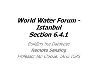
World Water Forum - IstanbulSection 6.4.1 Building the Database Remote Sensing Professor Ian Cluckie, IAHS ICRS
E P Qs D Ss Qg D Sg Ig A General Scenario Water Resources Applications Coupled Ocean-Atmosphere Models Mesoscale Models Hydrologic/Routing Models SVATs Sorooshian, HEPEX, 2004
Source: Modified from Patenaude, Edinburgh Cost of Remotely Sensed Data? Nominal Ground Resolution FREE £50 Cost per Km2
£ Source: Modified from Patenaude, Edinburgh
Land Use Pattern • The catchment is composed of 70% grassland and 30% arable • More than 80% of the total catchment area is used for agriculture • Flood risk can be mitigated with better land use management
Integration of Remotely Sensed Data Sources with Ordnance Survey Map Data.
Classified using a Statistically Active Contour (Snake). ASAR Image of River Severn at Upton-upon-Severn ASAR – UAV’s
How Much Data for a Rainstorm? • A Single Raingauge – 2 MB • A Conventional Weather Radar – About 0.25 GB • A Sophisticated Dual-Polarisation Weather • Radar - About 3 GB • A Coupled Modelling System – About 10 GB