Exploring Spain Through Historic and Modern Maps
Discover the geography of Spain with a fascinating comparison of maps from the 15th century to modern satellite imagery. This resource highlights the detailed coastline observations of sailors and inland features from Ptolemy, showcasing the evolution of cartography. Engage in activities to locate marked towns, explore historic football league cities, and identify holiday destinations from both old and new perspectives. Dive into the rich history of Spanish geography and see how centuries of exploration have shaped our understanding of this vibrant country.


Exploring Spain Through Historic and Modern Maps
E N D
Presentation Transcript
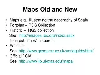
Maps Old and New • Maps e.g. illustrating the geography of Spain • Portolan – RGS Collection • Historic – RGS collection See: http://images.rgs.org/index.aspx then put ‘maps’ in search • Satellite See: http://www.gesource.ac.uk/worldguide/html/ • Official ( CIA) See: http://www.lib.utexas.edu/maps/
A 15th Century map A 15th Century map c.1434 drawn using the observations of sailors for the coast detail and information from various travel guides for the inland detail (Portolan). The information for the mountains and rivers came from Ptolemy’s map Source RGS Map collection
Source: S0014572 Regnorum Hispaniae Nova Delcriptiohttp://images.rgs.org/index.aspx then put ‘maps’ in search
Satellite view of SpainThe white patches are cloud ;the green areas are vegetationThe blue areas are water Source: http://www.gesource.ac.uk/worldguide/html/image_1270.html
Source :http://www.lib.utexas.edu/maps/cia06/spain_sm_2006.gif
Activity:Finding Out • Can you find the towns which are marked on the 15th century map? • Can you find the towns in the football league? See appended list • Can you find the holiday towns? • Can you name the towns marked in red on the satellite map?
First Division Spain Barcelona Real Madrid Villarreal Betis Espanyol Sevilla Valencia Deportivo Athletic Bilbao Málaga Atlético Madrid Zaragoza Real Sociedad Getafe Osasuna Racing Santander Mallorca Levante Numancia Albacete