Transitioning to the Modern Vertical Datum: NAVD88 Geodetic Benchmark Network Overview
40 likes | 189 Vues
This workshop presentation by Chris Enright outlines the necessary conversion of all model parameters with elevation attributes to NAVD88, emphasizing that the old datum's influence has been effectively eliminated for GPS bench marks and tide gage locations within the Delta and Suisun Marsh. The realignment of the geodetic benchmark network in 2002 to NAVD88 is crucial for accurate elevation assessments. The presentation also details validation periods and the importance of salinity time series in the context of various flow stations and conditions, highlighting data from Suisun (April-August 2004) and North Delta (2006).

Transitioning to the Modern Vertical Datum: NAVD88 Geodetic Benchmark Network Overview
E N D
Presentation Transcript
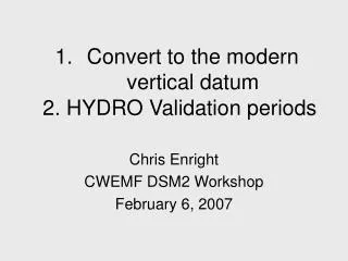
Convert to the modern vertical datum 2. HYDRO Validation periods Chris Enright CWEMF DSM2 Workshop February 6, 2007
NAVD88 • All model parameters that have an elevation attribute must be converted to NAVD88 • Old datum effectively does not exist
GPS Bench Mark and Tide Gage Locations in the Delta and Suisun Marsh All elevation data(stage, bathymetry, topography) depends on this geodetic benchmark network • realigned in 2002 to NAVD88 standard
2. HYDRO Validation Periods • ~ Spring-Neap time scale • Fair weather (30 in/hg) • Calm wind • Range of outflow/export conditions • overlap special study periods • Usually have salinity time series too.. • Suisun April-August 2004: 13 flow stations • North Delta 2006: 9? flow stations • Mildred Is/Franks Tract 2002 • confluence 1998: 7 flow stations • Etc.