Download
1 / 7
70 likes | 399 Vues
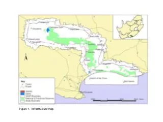
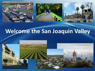
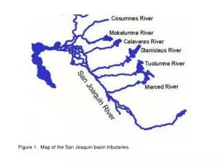
Figure 1. Map of the San Joaquin basin tributaries. Michigan Bar actual flow (USGS and CDEC). Figure 2. Map of the Cosumnes River showing the location of the flow gauging stations. New Hogan actual flow (USGS, CDEC) New Hogan unimpaired flow (CDEC).

E N D
Michigan Bar actual flow (USGS and CDEC) Figure 2. Map of the Cosumnes River showing the location of the flow gauging stations.
New Hogan actual flow (USGS, CDEC) New Hogan unimpaired flow (CDEC) Mormon Slough at Bellota, actual flow (CDEC) Figure 3. Map of the Calaveras River showing the location of the flow gauging stations.
Goodwin unimpaired flow (CDEC) Ripon actual flow (USGS) Figure 4. Map of the Stanislaus River showing the location of the flow gauging stations.
La Grange unimpaired flow (CDEC) Modesto actual flow (USGS, CDEC) Figure 5. Map of the Tuolumne River showing the location of the flow gauging stations.
Merced Falls unimpaired flow (USGS) Figure 6. Map of the Merced River showing the location of the flow gauging stations.
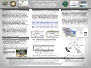
Stockton Ship Channel dissolved oxygen (IEP) Vernalis actual flow (CDEC) Below Friant Dam unimpaired flow (USGS) Figure 7. Map of the San Joaquin River showing the location of the flow and dissolved oxygen gauging stations.