Hazardous Weather Briefing - Severe Storms and Cold Air Forecast (April 9, 2013)
140 likes | 281 Vues
The National Weather Service in Springfield, MO, provides a hazardous weather briefing at 6 AM CDT on April 9, 2013. The briefing covers key forecast highlights, including the probability of severe weather threats such as wind, hail, and tornadoes within a 25-mile radius. A weather map for late today and a forecast for Wednesday morning indicate the arrival of colder air, with frost conditions possible. For further inquiries, please contact NWS Springfield at 417-863-8028 or visit our website at http://www.weather.gov/sgf.

Hazardous Weather Briefing - Severe Storms and Cold Air Forecast (April 9, 2013)
E N D
Presentation Transcript
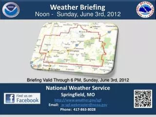
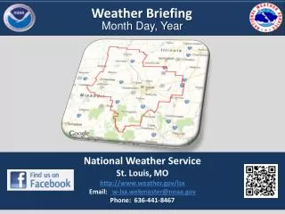
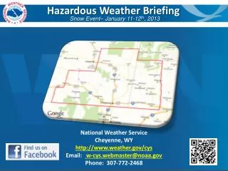
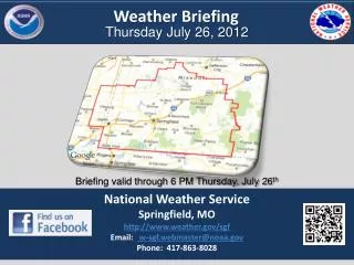
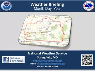
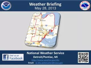
Hazardous Weather Briefing 6 AM CDT04/09/13 National Weather Service Springfield, MO http://www.weather.gov/sgf Email: w-sgf.webmaster@noaa.gov Phone: 417-863-8028
NWS Springfield Forecast Highlights
SPC Day 1 Outlook Through Tonight Wind Risk: Probability of severe within 25 miles
SPC Day 1 Outlook Through Tonight Hail Risk: Probability of severe within 25 miles
SPC Day 1 Outlook Through Tonight Tornado Risk: Probability within 25 miles
Colder Air—Frost Possible Cold Air
Decision Support Briefing Resources
Hazardous Weather Briefing 6 AM CDT 04/09/13 For questions and additional information: NWS Springfield, MO http://www.weather.gov/sgf Email: w-sgf.webmaster@noaa.gov Phone: 417-863-8028