Download
1 / 6
60 likes | 73 Vues
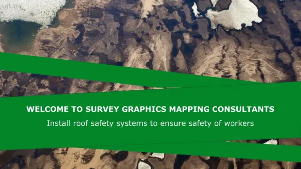
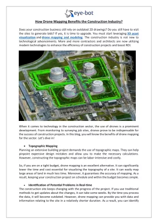
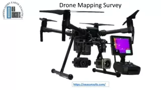
At OEA Consults, we consider using leading edge technology to make work process safer as well as more proficient. The proven drone mapping survey solutions provided by us simplify the compilation and examination of geospatial data. This enables professionals in farm surveys, forest resources inventory, engineering and terrain modelling to make better decisions, faster. Visit our website to know more about services. https://oeaconsults.com/drone-mapping-surveys/

E N D
Drone Mapping Survey https://oeaconsults.com/
Drone Mapping & Surveys Our company has expert experience in satellite image acquisition using remote sources. Our mapping drones come outfitted with the best high resolution UAV cameras available with the capability to collect the best available geo- rectified and color corrected images with almost zero cloud cover.
UAVs / DRONE SERVICES As a company specialized in Planning, mapping, remote sensing and photogrammetry, we provide a wide range of geospatial services ranging from product training, flying training, data collection, data analysis support consultancy. (post processing) and
CONTACT US https://oeaconsults.com/spatial-data-analytics-modelling/ info@oeaconsults.com +234 706 968 1949